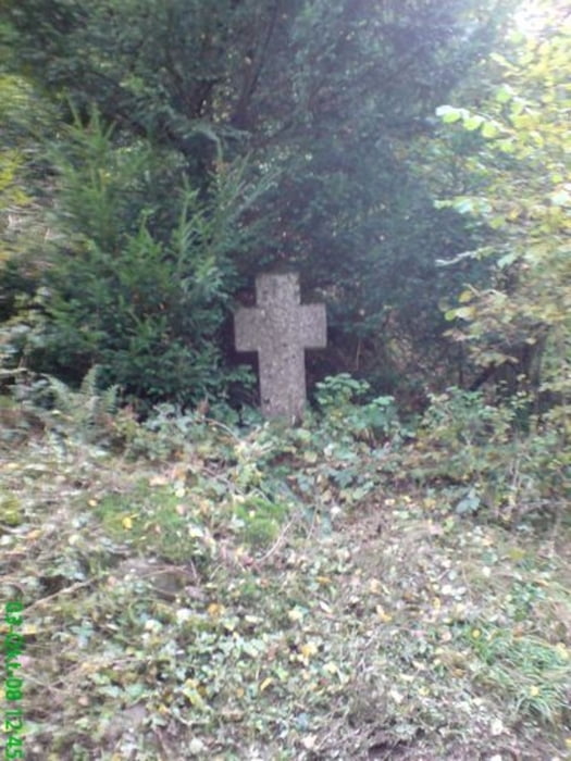
Vom Parkplatz aus geht es hoch zur Storcker Hütte.
Nach dem Genuss der Aussicht geht es weiter indenWlad undvon dort aus später hinab in das Mengbachtal. Dort führt der Weg zurück zum Auto.
galéria trás
Mapa trasy a výškový profil
Minimum height 113 m
Maximum height 244 m
komentáre

GPS trasy
Trackpoints-
GPX / Garmin Map Source (gpx) download
-
TCX / Garmin Training Center® (tcx) download
-
CRS / Garmin Training Center® (crs) download
-
Google Earth (kml) download
-
G7ToWin (g7t) download
-
TTQV (trk) download
-
Overlay (ovl) download
-
Fugawi (txt) download
-
Kompass (DAV) Track (tk) download
-
list trasy (pdf) download
-
Original file of the author (gpx) download
Add to my favorites
Remove from my favorites
Edit tags
Open track
My score
Rate


