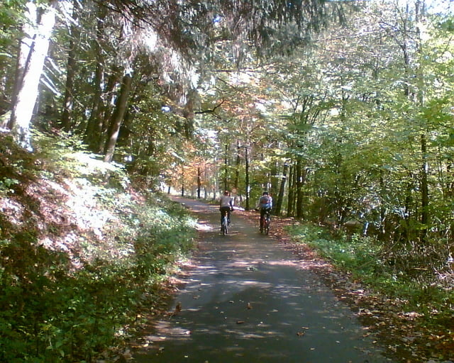
Die Tour beginnt in Breit und führt von der Westseite über Wirtschaftswege zum Erbeskopf und zurück über Deuselbach nach Breit.
Die Strecke führt bis auf 1km ausschließlich über asphaltierte Landstraßen und Wirtschaftswege.
Further information at
http://de.wikipedia.org/wiki/Erbeskopfgaléria trás
Mapa trasy a výškový profil
Minimum height 354 m
Maximum height 786 m
komentáre

Von der A1 von Trier kommend fahrt man an der Abfahrt Mehring ab. Danach biegt man nach links Richtung Mainz ab. In Büdlicherbrück biegt man an der zweiten Abfahrt links nach Breit ab und folgt der Landstraße (3 km).
GPS trasy
Trackpoints-
GPX / Garmin Map Source (gpx) download
-
TCX / Garmin Training Center® (tcx) download
-
CRS / Garmin Training Center® (crs) download
-
Google Earth (kml) download
-
G7ToWin (g7t) download
-
TTQV (trk) download
-
Overlay (ovl) download
-
Fugawi (txt) download
-
Kompass (DAV) Track (tk) download
-
list trasy (pdf) download
-
Original file of the author (gpx) download
Add to my favorites
Remove from my favorites
Edit tags
Open track
My score
Rate


