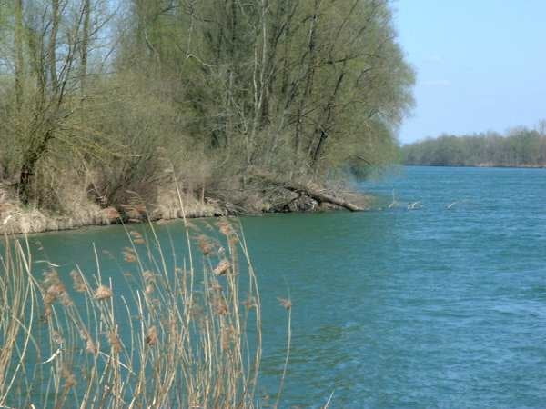
Wegen einer Umleitung mußte ich zwischen Schwaz und Strass im Zillertal von 530 üNN auf 560 üNN hinauf. Da ich ein absoluter "Genußradler" bin, hat mir das schwer gestunken.
Ab Strass s.o. ging der Weg dann meist nur noch über Wassergebundene Oberfläche.
Further information at
http://de.wikipedia.org/wiki/Inntalgaléria trás
Mapa trasy a výškový profil
Minimum height 452 m
Maximum height 671 m
komentáre

Die Anreise zu meiner 3 1/2 -Tages Tour habe ich mit der Bahn nach Innsbruck hinter mich gebracht.
GPS trasy
Trackpoints-
GPX / Garmin Map Source (gpx) download
-
TCX / Garmin Training Center® (tcx) download
-
CRS / Garmin Training Center® (crs) download
-
Google Earth (kml) download
-
G7ToWin (g7t) download
-
TTQV (trk) download
-
Overlay (ovl) download
-
Fugawi (txt) download
-
Kompass (DAV) Track (tk) download
-
list trasy (pdf) download
-
Original file of the author (gpx) download
Add to my favorites
Remove from my favorites
Edit tags
Open track
My score
Rate


