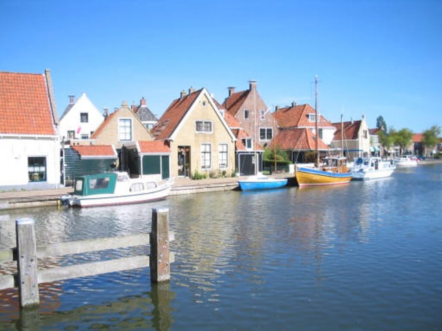
Vom CP Holle Poarte aus über viele kleine Dörfer bis zur Radfähre vor Nijhuizum. Hier übersetzen und wieder übers flache Land zurück.(Die Fähre kennt das Programm nicht deswegen hat es einfach einen Verbindungsstrich nach Nijhuizum gezeichnet!)
(wenn jemand die Strecke als "Route" für die Navigation möchte, dann einfach ne Nachricht schicken!)
Further information at
http://www.hollepoarte.nl/content/du_index.aspgaléria trás
Mapa trasy a výškový profil
Minimum height 99999 m
Maximum height -99999 m
komentáre

GPS trasy
Trackpoints-
GPX / Garmin Map Source (gpx) download
-
TCX / Garmin Training Center® (tcx) download
-
CRS / Garmin Training Center® (crs) download
-
Google Earth (kml) download
-
G7ToWin (g7t) download
-
TTQV (trk) download
-
Overlay (ovl) download
-
Fugawi (txt) download
-
Kompass (DAV) Track (tk) download
-
list trasy (pdf) download
-
Original file of the author (gpx) download
Add to my favorites
Remove from my favorites
Edit tags
Open track
My score
Rate


