Start In Piesenkam an der Kirche ( man sollte nicht verpassen, einen Blick in die Kirche zu werfen)
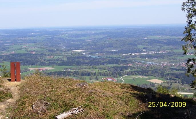
Tour führt über asphaltierte Nebenstrassen und Feldwegen, mit schöner Aussicht vom Blomberg aufs Isartal.
Vorsicht bei der Abfahrt vom Blomberg zum Teil sehr steil und der Weg ist in der Mitte stark überhöht.
galéria trás
Mapa trasy a výškový profil
Minimum height 645 m
Maximum height 1242 m
komentáre
GPS trasy
Trackpoints-
GPX / Garmin Map Source (gpx) download
-
TCX / Garmin Training Center® (tcx) download
-
CRS / Garmin Training Center® (crs) download
-
Google Earth (kml) download
-
G7ToWin (g7t) download
-
TTQV (trk) download
-
Overlay (ovl) download
-
Fugawi (txt) download
-
Kompass (DAV) Track (tk) download
-
list trasy (pdf) download
-
Original file of the author (gpx) download
Add to my favorites
Remove from my favorites
Edit tags
Open track
My score
Rate


Aufzeichnung