


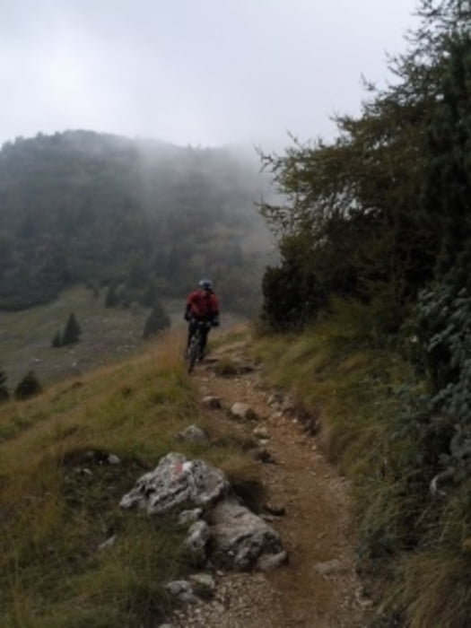
Die Tour führt von der Bergstation der Seilbahn am Monte Baldo (Talstation in Malcesine) zunächst einen Schotterweg und dann eine Asphaltstraße bergab. Anschließend geht es steil bergauf (teilweise Schiebstrecke) zum Monte Altissimo. Von dort geht es über 2000 Höhenmeter bergab bis zum Gardasee. Der Anfang ist sehr verblockt und hat uns teilweise zum Schieben gezwungen. Doch dann macht diese Tour wirklich Spaß und teilweise eröffnen sich tolle Ausblicke über den Gardasee.
galéria trás

Mapa trasy a výškový profil
Minimum height 70 m
Maximum height 2070 m
More about the tour author
|
|
oki |
komentáre

GPS trasy
Trackpoints-
GPX / Garmin Map Source (gpx) download
-
TCX / Garmin Training Center® (tcx) download
-
CRS / Garmin Training Center® (crs) download
-
Google Earth (kml) download
-
G7ToWin (g7t) download
-
TTQV (trk) download
-
Overlay (ovl) download
-
Fugawi (txt) download
-
Kompass (DAV) Track (tk) download
-
list trasy (pdf) download
-
Original file of the author (gpx) download
More about the tour author
|
|
oki |
Add to my favorites
Remove from my favorites
Edit tags
Open track
My score
Rate