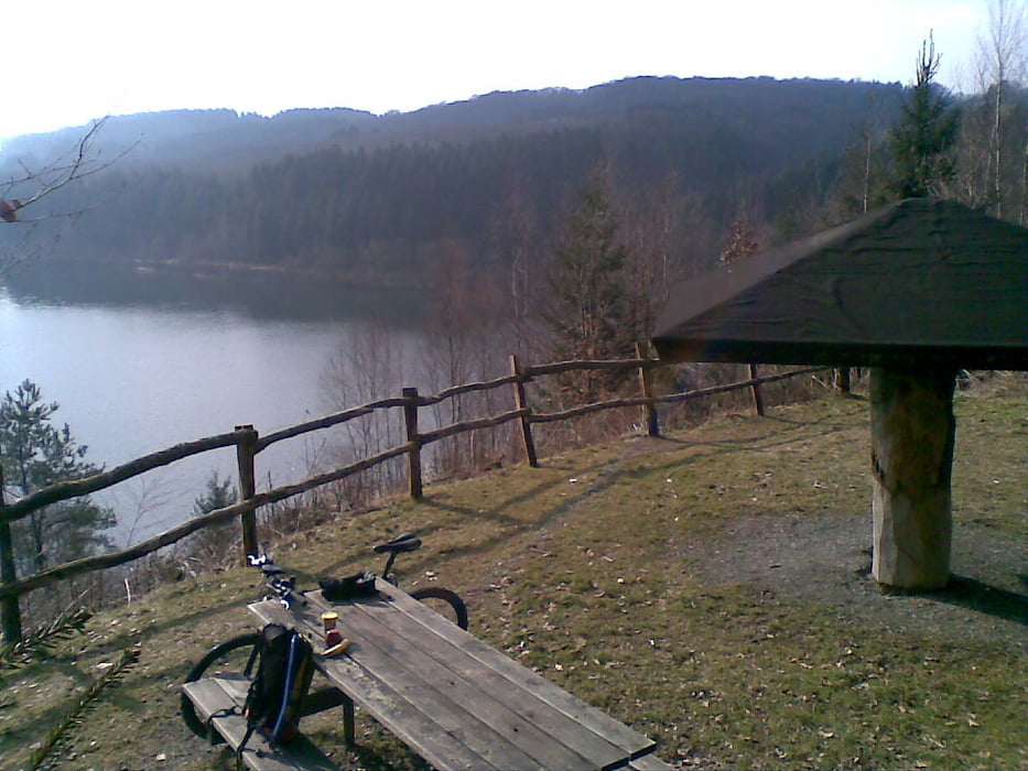
Eine Feierabendrunde für Fortgeschrittene ;-) Von Köln Nippes geht es über das Rheinufer und Mülheim zur Dhünntalsperre, dort einmal drumrum und dann zum Bahnhof in Bergisch Gladbach. Das Highlight ist natürlich die Umrundung der Talsperre - diese ist inspiriert von der "O-K-X Dhünntalsperrenrunde" von "King of the Mud".
Die Tour ist geeignet für Cross- und Mountainbikes und nicht für zweispurige Anhänger (viele Engstellen und Single-Tracks). Im Dunkeln und nach starken Regenfällen würde ich sie nicht empfehlen. Einige Anstiege sind konditionell und/oder technisch anspruchsvoll, weil sehr steil und/oder mit Schotter/Schlamm. Diese sind aber alle so kurz, dass man hier auch schieben kann, ohne dass es übermäßig nervt.
Das Auf und Ab an der Dhünntalsperre und auf dem Weg nach BGL kann allerdings ganz schön schlauchen, wenn man nicht in Form ist. Diese Zuckerhüte im Höhenprofil sollte man nicht zu sehr als irrelevant betrachten. :-)
[Update: 11.06.2010] Ein Upgrade dieser Tour gibt es hier: /de/touren/detail.59535.html
Mapa trasy a výškový profil
komentáre

GPS trasy
Trackpoints-
GPX / Garmin Map Source (gpx) download
-
TCX / Garmin Training Center® (tcx) download
-
CRS / Garmin Training Center® (crs) download
-
Google Earth (kml) download
-
G7ToWin (g7t) download
-
TTQV (trk) download
-
Overlay (ovl) download
-
Fugawi (txt) download
-
Kompass (DAV) Track (tk) download
-
list trasy (pdf) download
-
Original file of the author (gpx) download

