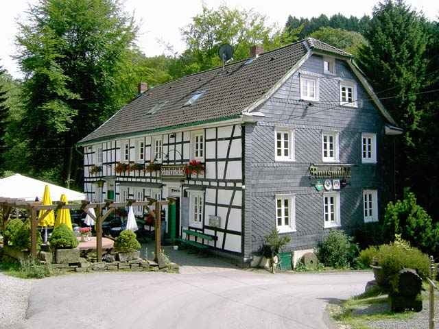
Wanderung durch die Täler des Eifgensbach,der Dhünn und der Linnefe
Mapa trasy a výškový profil
Minimum height 99999 m
Maximum height 2147483647 m
komentáre
Für Autofahrer : Dabringhausen wird über die Ausfahrt Burscheid der A1 erreicht
Für OPNV-Wanderer : Bus Opladen - Dabringhausen
Für OPNV-Wanderer : Bus Opladen - Dabringhausen
GPS trasy
Trackpoints-
GPX / Garmin Map Source (gpx) download
-
TCX / Garmin Training Center® (tcx) download
-
CRS / Garmin Training Center® (crs) download
-
Google Earth (kml) download
-
G7ToWin (g7t) download
-
TTQV (trk) download
-
Overlay (ovl) download
-
Fugawi (txt) download
-
Kompass (DAV) Track (tk) download
-
list trasy (pdf) download
-
Original file of the author (g7t) download
Add to my favorites
Remove from my favorites
Edit tags
Open track
My score
Rate


Allgemein
Dabringhausen
1. Wanderung mit GPS
Bachlandschaft
Toller Tag trotz des schlechten Wetters
Diese Tour ist auch bei schlechtem Wetter ein Erlebnis.
Ich habe mein neues GPS-Gerät dabei getestet - alles optimal - ich bin sehr zufrieden.