Login

Zabudli ste prihlasovacia meno

Cookies have to be accepted!
Your browser's cookie functionality is disabled. Please enable this functionality.

Not a member yet?

Register now
Login

Available for registred users only

Log in to use this feature.

Zabudli ste prihlasovacia meno

Cookies have to be accepted!
Your browser's cookie functionality is disabled. Please enable this functionality.

Not a member yet?

Register now
Filter
Kategórie
Advanced filters
  • Dĺžka (km)
  • výškomer
Uložiť filter Reset filter

TrackRank

QRCode

Technical data

Dĺžka27,2 km výškomer544 m Way down453 m Doba01:30 h:m dátum24.10.2008
ohodnotenia Author Kraj pôžitok z túry kondícia technika

štatistika

2103 náhľady 2 ohodnotenia 297 Stiahnutia 3.50 priemer
Rate
  • list trasy
  • príjazd
  • Stiahnutia

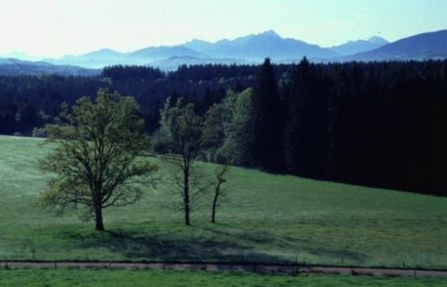
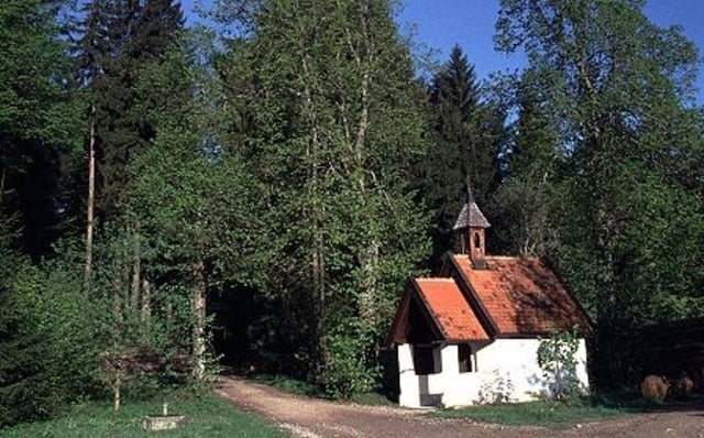
Schnelle  Trainingsrunde auf den Fent- und Taubenberg über Nebenstrassen, Forst- und Waldwegen und einigen kurzen Trials.

Start und Ende ist Holzkirchen Ortsmitte.

galéria trás

Mapa trasy a výškový profil

  • Open Street Map
  • Google
Minimum height 594 m Maximum height 892 m Detailný pohľad

More about the tour author

Schmitzl65
Member since 2008

Send private message

komentáre

fammair on 10.05.2009

Sommerstarter

Hallo Walter,

sind in dem Gebiet schon einige Moosertouren abgefahren. Waren erstaunt was wir alles noch nicht gesehen haben. Wenn man bedenkt daß die Tour auch per S-Bahn leicht erreichbar ist, ist Dein Beitrag eine echte Schau.

Grüße,
Thomas
FelixGPSTour on 25.05.2009

Super Tour für den Feierabend. Alles dabei. Kleine Trails, Wiesen, Schotter, Aussicht. Bins andersrum gefahren, trotzdem super.
FelixGPSTour on 25.05.2009

Super Tour für den Feierabend. Alles dabei. Kleine Trails, Wiesen, Schotter, Aussicht. Bins andersrum gefahren, trotzdem super.

GPS trasy

Trackpoints
  • GPX / Garmin Map Source (gpx) download
  • TCX / Garmin Training Center® (tcx) download
  • CRS / Garmin Training Center® (crs) download
  • Google Earth (kml) download
  • G7ToWin (g7t) download
  • TTQV (trk) download
  • Overlay (ovl) download
  • Fugawi (txt) download
  • Kompass (DAV) Track (tk) download
  • list trasy (pdf) download
  • Original file of the author (gpx) download

More about the tour author

Schmitzl65
Member since 2008

Send private message
Share track
Add to my favorites
Remove from my favorites
Edit tags
My score
Rate
trasa: Von Holzkirchen zu Fentberg und Taubenberg
Druh: horský bicykel
Dĺžka: 27,2 km
Evaluated on:
Doba:
Day(s)
Hour(s)
Minute(s)
ohodnotenie: Kraj pôžitok z túry kondícia technika