

Start
- Hauptstraße Heltersberg
- Reiterhof Lindenbrunner- Hof (Heltersberg)
- Lindenbrunnen
- Am Hang (Waldfischbach- Burgalben)
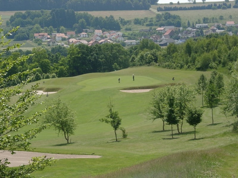
- Golfplatz Waldfischbach- Burgalben
- Kläranlage Geiselberg
- Wasserhaus Heltersberg
- Hauptstraße Heltersberg
Ende
Von der Hauptstraße in Heltersberg geht es auf festen Waldwegen (bis zum Punkt 4) auf einen geteerten Fahrradweg bis zurück auf die Hauptstraße von Heltersberg. Auf dem Weg liegt ein kürzer aber sehr schöner Singeltrail mir super Aussicht auf Waldfischbach- Burgalben.
Mapa trasy a výškový profil
Minimum height 297 m
Maximum height 503 m
More about the tour author
|
|
sr251083 |
komentáre

GPS trasy
Trackpoints-
GPX / Garmin Map Source (gpx) download
-
TCX / Garmin Training Center® (tcx) download
-
CRS / Garmin Training Center® (crs) download
-
Google Earth (kml) download
-
G7ToWin (g7t) download
-
TTQV (trk) download
-
Overlay (ovl) download
-
Fugawi (txt) download
-
Kompass (DAV) Track (tk) download
-
list trasy (pdf) download
-
Original file of the author (gpx) download
More about the tour author
|
|
sr251083 |
Add to my favorites
Remove from my favorites
Edit tags
Open track
My score
Rate