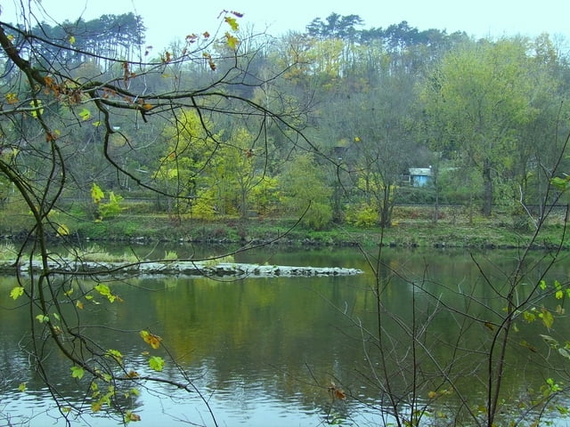
Von Steinberg zum Illerradweg bei Unterkirchberg. Bis Ulm weiter; dann Richtung Blaustein. Über Bahngleise Anstieg zum Eselsberg. Über kurzen Trial nach Mähringen. Nach ein par hundert Metern wieder auf Forstweg mit Abfahrt über herrliche Wege voller Laub bis nach Herrlingen. Über Blaustein nach Ulm und wieder an die Iller bis Oberkirchberg.
galéria trás
Mapa trasy a výškový profil
Minimum height 461 m
Maximum height 600 m
komentáre
GPS trasy
Trackpoints-
GPX / Garmin Map Source (gpx) download
-
TCX / Garmin Training Center® (tcx) download
-
CRS / Garmin Training Center® (crs) download
-
Google Earth (kml) download
-
G7ToWin (g7t) download
-
TTQV (trk) download
-
Overlay (ovl) download
-
Fugawi (txt) download
-
Kompass (DAV) Track (tk) download
-
list trasy (pdf) download
-
Original file of the author (gpx) download
Add to my favorites
Remove from my favorites
Edit tags
Open track
My score
Rate


Ist leider bei all deinen touren so, vieleicht kannst du da was ändern.
Gruß