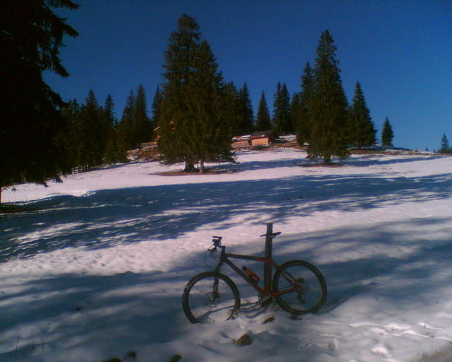
Schöne Spätherbst Streckentour, am besten mit BOB, wenn die höheren Touren nicht mehr gehen. Gufferthütte war schon ca. 5-10 cm Schnee aber noch gut zu fahren, da der Aufstieg von Achenwald recht moderat ist. Technik Stufe 3 nur wegen Schnee, sonst leicht
Recht ruhig Mitte November, ich hab über 3 Stunden keinen Menschen getroffen trotz gutem Wetter, das gibt's im Sommer hier nicht.
galéria trás
Mapa trasy a výškový profil
Minimum height 593 m
Maximum height 1474 m
komentáre

GPS trasy
Trackpoints-
GPX / Garmin Map Source (gpx) download
-
TCX / Garmin Training Center® (tcx) download
-
CRS / Garmin Training Center® (crs) download
-
Google Earth (kml) download
-
G7ToWin (g7t) download
-
TTQV (trk) download
-
Overlay (ovl) download
-
Fugawi (txt) download
-
Kompass (DAV) Track (tk) download
-
list trasy (pdf) download
-
Original file of the author (gpx) download
Add to my favorites
Remove from my favorites
Edit tags
Open track
My score
Rate


