
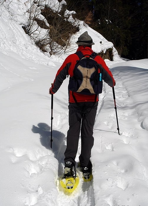

Die Tour beginnt beimParkplatz in Schlinig (1730m) , unterhalb vom Langlaufzentrum kommen wir zu einer Waldschneise und auf einer Forststrasse gehen wir bergwärts. Über mehrere Kehren mit immer wieder schönen Aussichten auf das Schlinigertal und Sesvenna kommen wir zu einer kleinen Hütte, der Kälber Alm (2135m). Diese ist nicht bewirtschaftet aber als Rastplatz ideal. Zurück nach Schlinig kommen wir auf dem selben Weg. Dies ist eine einfache Schneeschuhtour abseits vom Skibetrieb aber mit Schöner Landschaft und tollen Ausblicken auf Watles und Sesvennagebiet.
Further information at
http://www.watles.comgaléria trás


Mapa trasy a výškový profil
Minimum height 1696 m
Maximum height 2141 m
More about the tour author
|
|
Bockrider |
komentáre

Vom Reschenpass-Burgeis-Richtung Skigebiet Watles-Schlinig. Parkmöglichkeit in Ortsmitte Schlinig.
GPS trasy
Trackpoints-
GPX / Garmin Map Source (gpx) download
-
TCX / Garmin Training Center® (tcx) download
-
CRS / Garmin Training Center® (crs) download
-
Google Earth (kml) download
-
G7ToWin (g7t) download
-
TTQV (trk) download
-
Overlay (ovl) download
-
Fugawi (txt) download
-
Kompass (DAV) Track (tk) download
-
list trasy (pdf) download
-
Original file of the author (gpx) download
More about the tour author
|
|
Bockrider |
Add to my favorites
Remove from my favorites
Edit tags
Open track
My score
Rate