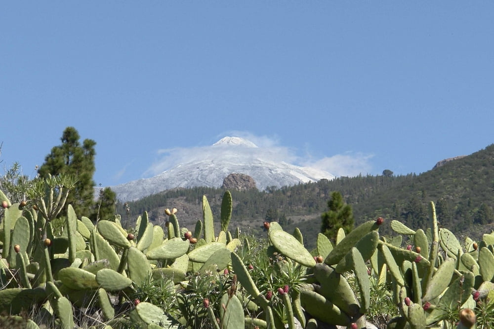
Leichte Bergwanderung oberhalb des Tourismusgebietes. Im oberen Anteil führt der Weg durch dichten Kiefernwald. Es empfiehlt sich den Weg gegen den Uhrzeigersinn so wie der Track aufgezeichnet ist zu wählen.
galéria trás
Mapa trasy a výškový profil
Minimum height 923 m
Maximum height 1260 m
komentáre

Am Autobahnende am Kreisel nach Armenime nimmt man die erste Ausfahrt den Berg hoch durch das Gewerbegebiet. Eine schmale Strasse führt hoch nach La Quinta. Man parkt an der Kapelle.
GPS trasy
Trackpoints-
GPX / Garmin Map Source (gpx) download
-
TCX / Garmin Training Center® (tcx) download
-
CRS / Garmin Training Center® (crs) download
-
Google Earth (kml) download
-
G7ToWin (g7t) download
-
TTQV (trk) download
-
Overlay (ovl) download
-
Fugawi (txt) download
-
Kompass (DAV) Track (tk) download
-
list trasy (pdf) download
-
Original file of the author (gpx) download
Add to my favorites
Remove from my favorites
Edit tags
Open track
My score
Rate


