Die Tour beginnt an einem kleinen Parkplatz ca. 50 Meter vom Bahnhof Fürth "Alte Feste". Sie ist im Sommer wie im Winter sehr gut zu fahren. Der Track enthält auf der ersten Hälfte (bis zum Steinbruch) viele Singletrails; der gesamte Track verläuft zu 80% auf Wald- und Forstwegen und zu 20% auf Pferdepfaden. Der Rückweg führt über schnelle Waldwege mit drei kleinen Downhills und zwei kleinen Steigungen.
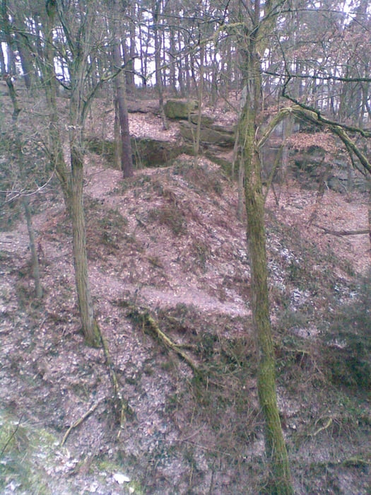
Rund um den Wegpunkt "Steinbruch" existiert ein kleines aber feines Gebiet mit vielen z.T. sehr kniffligen Trails.
Mapa trasy a výškový profil
komentáre

Die Anfahrt kann mit dem Zug von Fürth Hauptbahnhof bis zur Haltestelle Fürth "Alte Veste" (50 Meter vom Ausgangspunkt entfernt). Die Fahrt dauert ca. 10 Minuten.
Mit dem Auto kann man auf den am Startpunkt der Tour gelegenen Parkplatz parken. Die Anfahrt erfolgt über die Südwesttangente Ausfahrt "Zirndorf/Dambach" --> Richtung Zirndorf --> nach dem Überqueren des Main-Donau-Kanals sofort links Richtung Zirndorf "Nordstadt" abbiegen --> erste Straße nach links Richtung Zirndorf abbiegen --> nach dem Überqueren der Bahnlinie liegt der Parkplatz nach ca. 50 Meter im Waldrand.
GPS trasy
Trackpoints-
GPX / Garmin Map Source (gpx) download
-
TCX / Garmin Training Center® (tcx) download
-
CRS / Garmin Training Center® (crs) download
-
Google Earth (kml) download
-
G7ToWin (g7t) download
-
TTQV (trk) download
-
Overlay (ovl) download
-
Fugawi (txt) download
-
Kompass (DAV) Track (tk) download
-
list trasy (pdf) download
-
Original file of the author (gpx) download

