


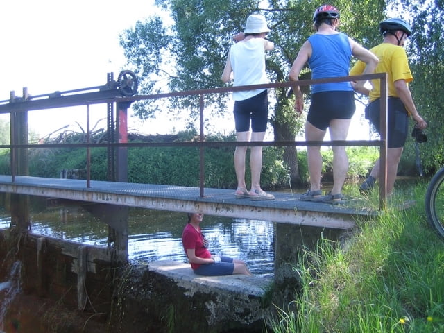
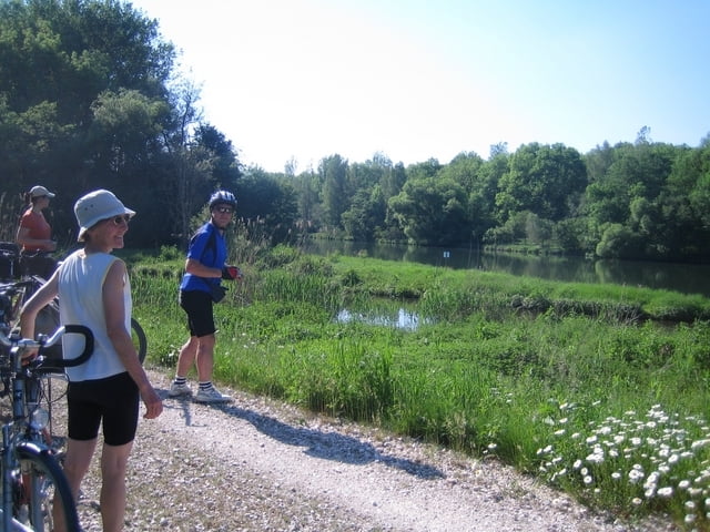
Gemütliche Tagestour entlang der Bayerisch-Schwäbischen Roth. Sie entspringt bei Memmingen in einem Wäldchen und mündet bei Nersingen in die Donau.
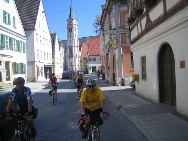
Sie erleben eine erstaunlich weite Flußlandschaft mit netten Dörfern. Kultureller Höhepunkt ist die Fuggerstadt Weißenhorn. Tipp: Besuchen Sie das renommierte Heimatmuseum im Oberen Tor.
Strecke größtenteils auf Feld- und Waldwegen, daher meist verkehrsfrei. Breite Reifen oder MTB von Vorteil.
Rückfahrt nach Memmingen mit der Bahn von Nersingen oder Ulm/Neu-Ulm aus. Oder mit dem Fahrrad auf dem Illerradweg.
galéria trás
Mapa trasy a výškový profil
Minimum height 453 m
Maximum height 674 m
More about the tour author

|
fssalz |
komentáre

Startpunkt: Bahnhof Memmingen
GPS trasy
Trackpoints-
GPX / Garmin Map Source (gpx) download
-
TCX / Garmin Training Center® (tcx) download
-
CRS / Garmin Training Center® (crs) download
-
Google Earth (kml) download
-
G7ToWin (g7t) download
-
TTQV (trk) download
-
Overlay (ovl) download
-
Fugawi (txt) download
-
Kompass (DAV) Track (tk) download
-
list trasy (pdf) download
-
Original file of the author (gpx) download
More about the tour author
|
|
fssalz |
Add to my favorites
Remove from my favorites
Edit tags
Open track
My score
Rate