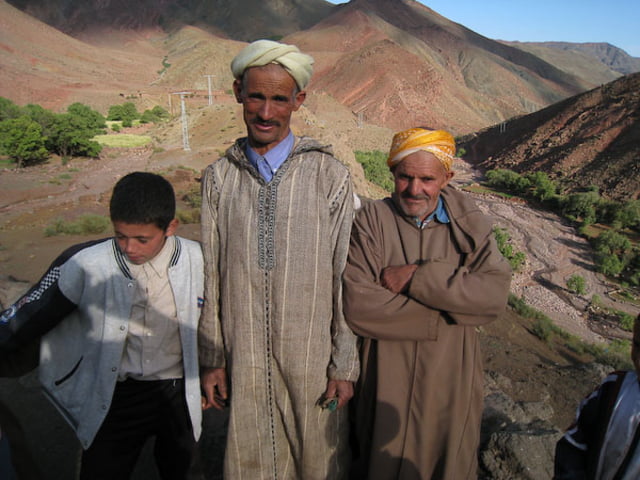
Die Tour ist in einer schönen Landschaft. Weit ab von allen andern Touren die das Land bereisen. Die Leute sind in dem Abschnitt sehr freundlich zu uns gewesen. Der letzte Teil der Tour ist eine Wanderung!!!
galéria trás
Mapa trasy a výškový profil
Minimum height 1809 m
Maximum height 2355 m
komentáre

GPS trasy
Trackpoints-
GPX / Garmin Map Source (gpx) download
-
TCX / Garmin Training Center® (tcx) download
-
CRS / Garmin Training Center® (crs) download
-
Google Earth (kml) download
-
G7ToWin (g7t) download
-
TTQV (trk) download
-
Overlay (ovl) download
-
Fugawi (txt) download
-
Kompass (DAV) Track (tk) download
-
list trasy (pdf) download
-
Original file of the author (gpx) download
Add to my favorites
Remove from my favorites
Edit tags
Open track
My score
Rate


