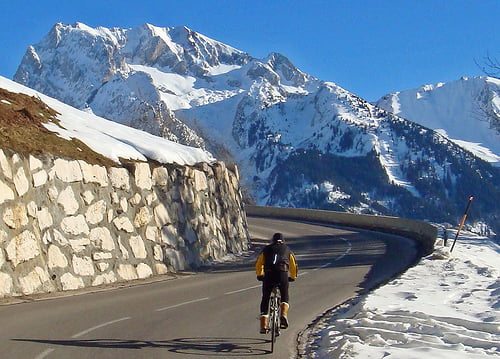
Beautiful winter ride in the Aravis Alps.
This was last stage in stage 17 of the 2004 Tour de France won by LA.
The road is open for skiing at the top.
Further information at
http://www.cycling-challenge.com/col-de-la-croix-fry-via-col-de-plan-bois-2/galéria trás
Mapa trasy a výškový profil
Minimum height 617 m
Maximum height 1503 m
komentáre

Start in Thones head towards Marais and turn left at Col de Plan Bois sign
GPS trasy
Trackpoints-
GPX / Garmin Map Source (gpx) download
-
TCX / Garmin Training Center® (tcx) download
-
CRS / Garmin Training Center® (crs) download
-
Google Earth (kml) download
-
G7ToWin (g7t) download
-
TTQV (trk) download
-
Overlay (ovl) download
-
Fugawi (txt) download
-
Kompass (DAV) Track (tk) download
-
list trasy (pdf) download
-
Original file of the author (gpx) download
Add to my favorites
Remove from my favorites
Edit tags
Open track
My score
Rate


