


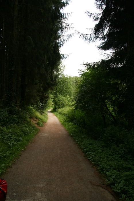
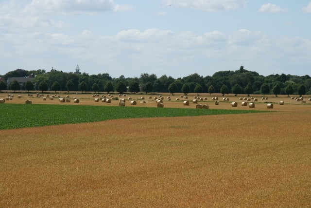
Eine schöne Sommertour schonmal zum Planen. Das Schöne an der Tour - bis auf die ersten Kilometer nach Wülfrath in die Nähe des Kalkwerkes geht es danach die ganze Zeit fast nur bergab. Die Landschaft ist sehr abwechslungsreich. Erst das bergische Land. Dann industrielle Eindrücke. Dann geht es parallel zur Bahn auf einem gut geteerten Weg bis Ratingen durch ein schönes Tal. Zum Flugzeuge Beobachten fährt man dann in den bewaldeten Ratinger Forst, um dann nach Überquerung des Rheins durchs Flachland zum Schloss Rheydt bzw. nach Mönchengladbach zu kommen.
Further information at
http://www.angertalbahn.degaléria trás


Mapa trasy a výškový profil
Minimum height 21 m
Maximum height 215 m
More about the tour author
|
|
Schiller1963 |
komentáre

Fahrradstart ist der Bahnhof in Vohwinkel. Das Auto einfach in M-Gladbach stehen lassen und dann mit dem Zug (alle 1/2 Std. + zusätzlich S-Bahnen) bis Vohwinkel. Man kann natürich auch in Wuppertal beginnen und mit dem ZUg dann ab seinem Zielpunkt zurücfahren.
GPS trasy
Trackpoints-
GPX / Garmin Map Source (gpx) download
-
TCX / Garmin Training Center® (tcx) download
-
CRS / Garmin Training Center® (crs) download
-
Google Earth (kml) download
-
G7ToWin (g7t) download
-
TTQV (trk) download
-
Overlay (ovl) download
-
Fugawi (txt) download
-
Kompass (DAV) Track (tk) download
-
list trasy (pdf) download
-
Original file of the author (gpx) download
More about the tour author
|
|
Schiller1963 |
Add to my favorites
Remove from my favorites
Edit tags
Open track
My score
Rate