


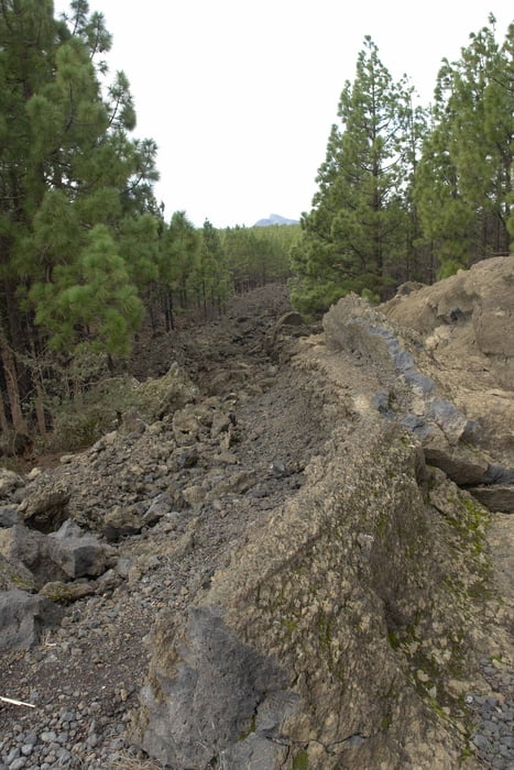
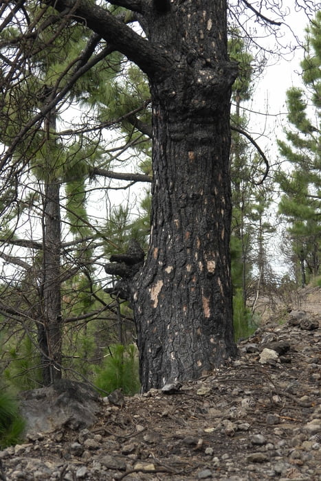
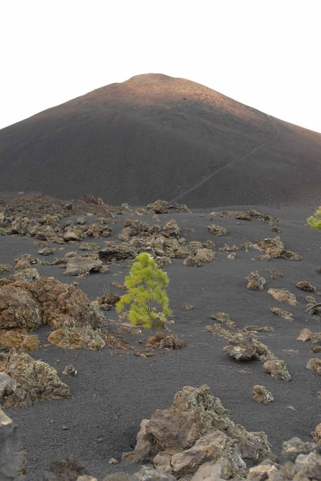
Leichte Rundtour um den Chinyero. Abwechslungsreich mal durch den Wald, mal über Aschefelder und immer bergauf und bergab. Seit dem großen Waldbrand beginnt sich der Wald zu erholen. Überall sprießen neue Triebe. Leider ist der Wald nocht nicht wieder so dicht wie vorher.
galéria trás
Mapa trasy a výškový profil
Minimum height 1400 m
Maximum height 1523 m
More about the tour author

|
Banderolo |
komentáre

Es gibt zwei Möglichkeiten:
1. Über Vilaflor der TF 21 folgend bis in den Teidenationalpark. In der Caldera links auf die TF 38 Richtung Guia de Isora bis zum Startpunkt (TF-Wa03-1). Der Parkplatz ist leider nicht mehr vorhanden. Er wurde einplaniert. Deshalb am Straßenrand parken.
2. Von Guia de Isora die TF 82 bis Chio. Nach der Ortschaft rechts auf die TF 38 Richtung Teide bis zum Startpunkt.
Wer sich auskennt, kann in Guia durch den Ort hoch nach Chirche (sehr steil, aber mit jedem Auto machbar!!). Nach dem Ort stösst man wieder auf die TF 38, wo man nach rechts abbiegt und dem Verlauf der Strasse bis zum Startpunkt folgt.
GPS trasy
Trackpoints-
GPX / Garmin Map Source (gpx) download
-
TCX / Garmin Training Center® (tcx) download
-
CRS / Garmin Training Center® (crs) download
-
Google Earth (kml) download
-
G7ToWin (g7t) download
-
TTQV (trk) download
-
Overlay (ovl) download
-
Fugawi (txt) download
-
Kompass (DAV) Track (tk) download
-
list trasy (pdf) download
-
Original file of the author (gpx) download
More about the tour author
|
|
Banderolo |
Add to my favorites
Remove from my favorites
Edit tags
Open track
My score
Rate