

Long and pretty flat course, but can be very windy, especially between October and April. The coastal road is an absolute dream for those who like to ride flat out - almost completely flat (all the climbing is done inland on the Nr 3), with new tarmac on almost the complete 80km from Jerti to Kuala Terengganu.
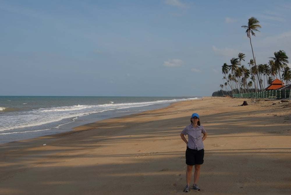
...and if you like to chill out at the beach, there are a lot of opportunities...
Mapa trasy a výškový profil
Minimum height 4 m
Maximum height 41 m
More about the tour author
|
|
mblanarik |
komentáre

...just get to Kuala Terengganu, then head for the airport and towards Kota Bharu via the Nr 3. Park somewhere near the big rounabout and head towards Lake/Tasik Kenyir... the rest is pretty straight forward, as there are not that many roads in the East.
GPS trasy
Trackpoints-
GPX / Garmin Map Source (gpx) download
-
TCX / Garmin Training Center® (tcx) download
-
CRS / Garmin Training Center® (crs) download
-
Google Earth (kml) download
-
G7ToWin (g7t) download
-
TTQV (trk) download
-
Overlay (ovl) download
-
Fugawi (txt) download
-
Kompass (DAV) Track (tk) download
-
list trasy (pdf) download
-
Original file of the author (gpx) download
More about the tour author
|
|
mblanarik |
Add to my favorites
Remove from my favorites
Edit tags
Open track
My score
Rate