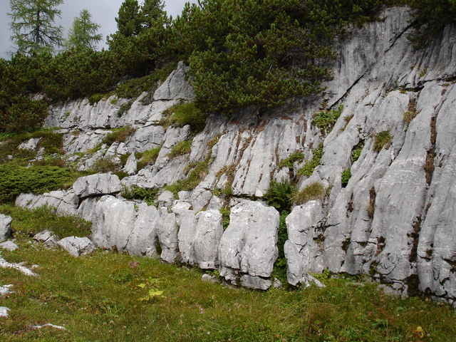
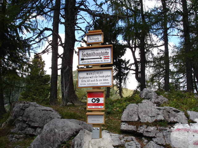
Beginnend beim Parkplatz "Schönmoos" (N47 34.477 E14 10.3819 gehts stetig bergan bis zur Abzweigung Richtung Liezener Hütte welche man über das Hochtor erreicht. Übers Plateau zu der Niederhüttenalm, wo auch die Hochmölbinghütte steht. Von da an beginnt das letzt Stück bis zum großen Raidling. Zurück gehts anfangs den gleichen Weg wieder hinunter bis zu der Alm, wo man jetzt links abbiegt auf den "Grazersteig". Gemütlich zurück zum Ausgangspunkt.
Further information at
http://www.alpenvereinshuetten.at/huette.php?huetteNr=0140galéria trás
Mapa trasy a výškový profil
Minimum height 1132 m
Maximum height 1914 m
komentáre

N47 34.477 E14 10.381
GPS trasy
Trackpoints-
GPX / Garmin Map Source (gpx) download
-
TCX / Garmin Training Center® (tcx) download
-
CRS / Garmin Training Center® (crs) download
-
Google Earth (kml) download
-
G7ToWin (g7t) download
-
TTQV (trk) download
-
Overlay (ovl) download
-
Fugawi (txt) download
-
Kompass (DAV) Track (tk) download
-
list trasy (pdf) download
Add to my favorites
Remove from my favorites
Edit tags
Open track
My score
Rate


