Login

Zabudli ste prihlasovacia meno

Cookies have to be accepted!
Your browser's cookie functionality is disabled. Please enable this functionality.

Not a member yet?

Register now
Login

Available for registred users only

Log in to use this feature.

Zabudli ste prihlasovacia meno

Cookies have to be accepted!
Your browser's cookie functionality is disabled. Please enable this functionality.

Not a member yet?

Register now
Filter
Kategórie
Advanced filters
  • Dĺžka (km)
  • výškomer
Uložiť filter Reset filter

TrackRank

QRCode

Technical data

Dĺžka79,9 km výškomer517 m Way down478 m Doba07:00 h:m dátum17.03.2009
ohodnotenia Author Kraj pôžitok z túry kondícia technika

štatistika

10592 náhľady 3 ohodnotenia 486 Stiahnutia 4.00 priemer
Rate
  • list trasy
  • príjazd
  • Stiahnutia

Aus München geht es Richtung S-O auf Radwegen und ruhigen Strassen bis nach Feldkirchen/Westerham. Hier geht es entlang der Mangfall auf Schotterwegen bis nach Rosenheim. Nun Richtung N-O auf ruhigen Straßen und Feldwegen bis zum Simssee.

Es warten einige Hügel zum Aufwärmen, bis es schließlich in einer heftigen Steigung auf die "Ratzinger Höhe" geht. Von hier geht es dann +- Bergab bis zum Chiemsee (Prien). Die Tour endet in Greimharting.
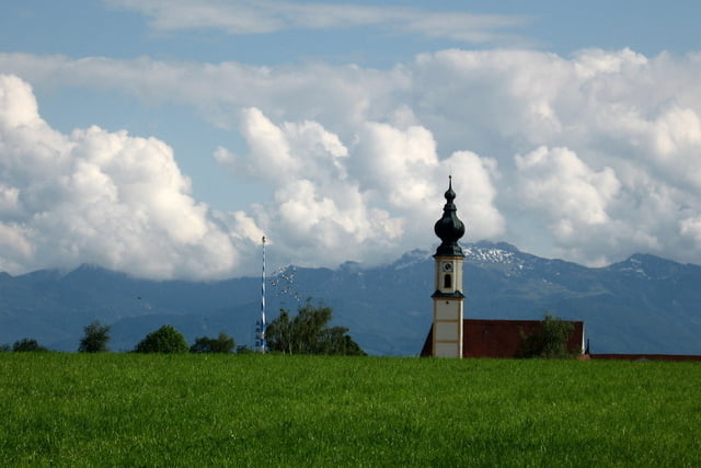
 

galéria trás

Mapa trasy a výškový profil

  • Open Street Map
  • Google
Minimum height 447 m Maximum height 684 m Detailný pohľad

More about the tour author

lefti_de
Member since 2007

Send private message

komentáre

GPS trasy

Trackpoints
  • GPX / Garmin Map Source (gpx) download
  • TCX / Garmin Training Center® (tcx) download
  • CRS / Garmin Training Center® (crs) download
  • Google Earth (kml) download
  • G7ToWin (g7t) download
  • TTQV (trk) download
  • Overlay (ovl) download
  • Fugawi (txt) download
  • Kompass (DAV) Track (tk) download
  • list trasy (pdf) download
  • Original file of the author (gpx) download

More about the tour author

lefti_de
Member since 2007

Send private message
Share track
Add to my favorites
Remove from my favorites
Edit tags
My score
Rate
trasa: München-Chiemsee
Druh: cykloturistika
Dĺžka: 79,9 km
Evaluated on:
Doba:
Day(s)
Hour(s)
Minute(s)
ohodnotenie: Kraj pôžitok z túry kondícia technika