Login

Zabudli ste prihlasovacia meno

Cookies have to be accepted!
Your browser's cookie functionality is disabled. Please enable this functionality.

Not a member yet?

Register now
Login

Available for registred users only

Log in to use this feature.

Zabudli ste prihlasovacia meno

Cookies have to be accepted!
Your browser's cookie functionality is disabled. Please enable this functionality.

Not a member yet?

Register now
Filter
Kategórie
Advanced filters
  • Dĺžka (km)
  • výškomer
Uložiť filter Reset filter

TrackRank

QRCode

Technical data

Dĺžka10,5 km výškomer50 m Way down64 m Doba02:00 h:m dátum24.03.2009
ohodnotenia Author Kraj pôžitok z túry kondícia technika

štatistika

2857 náhľady ohodnotenia 255 Stiahnutia priemer
Rate
  • list trasy
  • príjazd
  • Stiahnutia

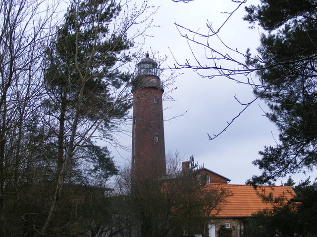
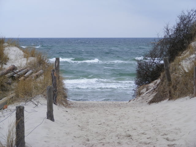
Vom Parplatz Prerow (beim Zeltplatz) geht es in westlicher Richtung auf befestigten Wegen bis zum Leuchtturm. Von dort kann man zurück (über Holzbohlenweg) über den Nothafen (Alternative dort am Strand entlang zurück) wieder zum Parkplatz.

galéria trás

Mapa trasy a výškový profil

  • Open Street Map
  • Google
Minimum height -38 m Maximum height -4 m Detailný pohľad

More about the tour author

Gunther001
Member since 2009

Send private message

komentáre

GPS trasy

Trackpoints
  • GPX / Garmin Map Source (gpx) download
  • TCX / Garmin Training Center® (tcx) download
  • CRS / Garmin Training Center® (crs) download
  • Google Earth (kml) download
  • G7ToWin (g7t) download
  • TTQV (trk) download
  • Overlay (ovl) download
  • Fugawi (txt) download
  • Kompass (DAV) Track (tk) download
  • list trasy (pdf) download
  • Original file of the author (gpx) download

More about the tour author

Gunther001
Member since 2009

Send private message
Share track
Add to my favorites
Remove from my favorites
Edit tags
My score
Rate
trasa: Prerow / Darß
Druh: trasa
Dĺžka: 10,5 km
Evaluated on:
Doba:
Day(s)
Hour(s)
Minute(s)
ohodnotenie: Kraj pôžitok z túry kondícia technika