Tour von St. Wendel nach St.Wendel über
Billerborner Hof
Spiemont
Himmelwald
Wetschhausen
Wingertsweiher
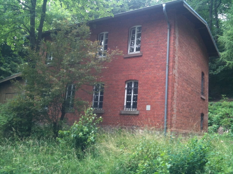
Ziegelhütte
Ernstbach
Remmesweiler
Oberlinxweiler
Sehr abwechslungsreiche Wegführung. Lange Steigungen auf Schotterwegen, techn. anspruchsvolle Passage im Spiemont. Für jeden was dabei.
Wüsche Euch viel Spass au der Strecke. ( hatten wir auch )
galéria trás
Mapa trasy a výškový profil
Minimum height 265 m
Maximum height 390 m
komentáre

GPS trasy
Trackpoints-
GPX / Garmin Map Source (gpx) download
-
TCX / Garmin Training Center® (tcx) download
-
CRS / Garmin Training Center® (crs) download
-
Google Earth (kml) download
-
G7ToWin (g7t) download
-
TTQV (trk) download
-
Overlay (ovl) download
-
Fugawi (txt) download
-
Kompass (DAV) Track (tk) download
-
list trasy (pdf) download
-
Original file of the author (gpx) download
Add to my favorites
Remove from my favorites
Edit tags
Open track
My score
Rate


