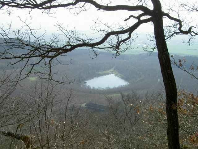
Forstpistenlastige, landschaftlich sehr nette Runde, die jährlich 1x als CTF von den Radsportfreunden Brohltal organisiert wird. Mitfahren lohnt, beste CTF die es in meiner Meinung nach in dieser Region gibt. Meine Polar sagt 1115hm, der Garmin 1260Hm... naja probiert es selbst aus :-)
Further information at
http://radsport.spvgg-burgbrohl.deMapa trasy a výškový profil
Minimum height 118 m
Maximum height 577 m
komentáre

Abfahrt Wehr von BAB 61. Start ist dann im Ort Wehr.
GPS trasy
Trackpoints-
GPX / Garmin Map Source (gpx) download
-
TCX / Garmin Training Center® (tcx) download
-
CRS / Garmin Training Center® (crs) download
-
Google Earth (kml) download
-
G7ToWin (g7t) download
-
TTQV (trk) download
-
Overlay (ovl) download
-
Fugawi (txt) download
-
Kompass (DAV) Track (tk) download
-
list trasy (pdf) download
-
Original file of the author (g7t) download
Add to my favorites
Remove from my favorites
Edit tags
Open track
My score
Rate

