Login

Zabudli ste prihlasovacia meno

Cookies have to be accepted!
Your browser's cookie functionality is disabled. Please enable this functionality.

Not a member yet?

Register now
Login

Available for registred users only

Log in to use this feature.

Zabudli ste prihlasovacia meno

Cookies have to be accepted!
Your browser's cookie functionality is disabled. Please enable this functionality.

Not a member yet?

Register now
Filter
Kategórie
Advanced filters
  • Dĺžka (km)
  • výškomer
Uložiť filter Reset filter

TrackRank

QRCode

Technical data

Dĺžka33,6 km výškomer171 m Way down183 m Doba02:15 h:m dátum30.03.2009
ohodnotenia Author User Kraj pôžitok z túry kondícia technika

štatistika

1047 náhľady 1 ohodnotenie 70 Stiahnutia 3.00 priemer
Rate
  • list trasy
  • príjazd
  • Stiahnutia
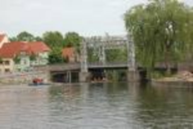
Von Rostock Biestow über Sildemow an die Warnow. Dort über die Eisenbahnbrücke auf die andere Seite der Warnow und dann östlich der Warnow bis nach Schwaan. Von Schwaan westlich der Warnow wieder zurück nach Rostck.

Mapa trasy a výškový profil

  • Open Street Map
  • Google
Minimum height -8 m Maximum height 41 m Detailný pohľad

More about the tour author

Gunther001
Member since 2009

Send private message

komentáre

maritimus on 14.04.2013

zur Tour

gefahren als Sonnragsausflug ohne sportliche Ambition - problematisch ist die östliche Seite der Warnow. Die Brücke über die Warnow ist recht eng und mit dem Rad nicht ganz leicht zu bewältigen. Dazu kommen die Teilstrecken mit unbefestigten Wegen, die im Frühjahr - insbesondere durch landwirtschaftliche Nutzung - teilweise ausgefahren und matschig sind. Ein Abschnitt direkt am Feldrand war für ein Tourenrad nicht geeignet. Mit ein bißchen Kondition und einem Mountainbike kommt allerdings Spaß auf. Ab Schwaan ist die Strecke dann perfekt. Abseits viel befahrener Straßen und auf bitumierten Radwegen rollt es.
Fazit - die Strecke ist schön - mit schmalen Reifen jedoch nicht für jeden fahrbar und für die Brücke ist ein bißchen Kraft erforderlich - insbesondere, wenn das Rad schwer und/oder beladen ist.

GPS trasy

Trackpoints
  • GPX / Garmin Map Source (gpx) download
  • TCX / Garmin Training Center® (tcx) download
  • CRS / Garmin Training Center® (crs) download
  • Google Earth (kml) download
  • G7ToWin (g7t) download
  • TTQV (trk) download
  • Overlay (ovl) download
  • Fugawi (txt) download
  • Kompass (DAV) Track (tk) download
  • list trasy (pdf) download
  • Original file of the author (gpx) download

More about the tour author

Gunther001
Member since 2009

Send private message
Share track
Add to my favorites
Remove from my favorites
Edit tags
My score
Rate
trasa: Rstock - Damm - Schwaan - Pölchow - Rostock
Druh: cykloturistika
Dĺžka: 33,6 km
Evaluated on:
Doba:
Day(s)
Hour(s)
Minute(s)
ohodnotenie: Kraj pôžitok z túry kondícia technika