Login

Zabudli ste prihlasovacia meno

Cookies have to be accepted!
Your browser's cookie functionality is disabled. Please enable this functionality.

Not a member yet?

Register now
Login

Available for registred users only

Log in to use this feature.

Zabudli ste prihlasovacia meno

Cookies have to be accepted!
Your browser's cookie functionality is disabled. Please enable this functionality.

Not a member yet?

Register now
Filter
Kategórie
Advanced filters
  • Dĺžka (km)
  • výškomer
Uložiť filter Reset filter

TrackRank

QRCode

Technical data

Dĺžka55,2 km výškomer1236 m Way down1240 m Doba04:30 h:m dátum05.04.2009
ohodnotenia Author User Kraj pôžitok z túry kondícia technika

štatistika

797 náhľady 2 ohodnotenia 153 Stiahnutia 4.00 priemer
Rate
  • list trasy
  • príjazd
  • Stiahnutia
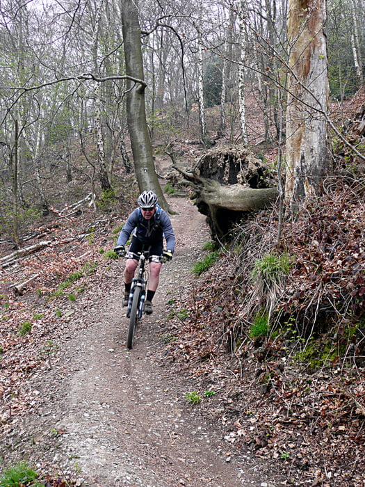
Tour vom Drago ins Bergische. Zum Ende ein wenig asphaltlastig, da wir einen Speichenbruch hatten.

galéria trás

Mapa trasy a výškový profil

  • Open Street Map
  • Google
Minimum height 52 m Maximum height 268 m Detailný pohľad

More about the tour author

tottreter
Member since 2006

Send private message

komentáre

Captain on 08.04.2009

Feine Runde

Hi tottretter, mir hat die Runde sehr gut gefallen. Den Asphaltanteil hast Du ja schon erwähnt. Fand ich jetzt aber nicht so schlimm. Du hast mir mit der Tour einen schönen ersten Urlaubstag bei bestem Frühlingswetter bereitet :o)
Weiter so!
Gruß Captain
buggi on 05.05.2016

Boah ey!!!

Was für ne Tourtour! Die Wälder in der nähe des Baldeneysees sind immer noch nicht von den Sturmschäden befreit, so gings also drüber und drunter durch die Bäume die quer im Weg lagen. Später wurde es dann flüssiger.
Über den Asphaltanteil war ich am Ende dann auch froh, denn ich hatte dann am Ende auch fast 1400hm auf dem Tacho.
Ist ne schöne Runde, aber auch konditionell recht anspruchsvoll.
Danke dafür!

MFG

Bollebiker

GPS trasy

Trackpoints
  • GPX / Garmin Map Source (gpx) download
  • TCX / Garmin Training Center® (tcx) download
  • CRS / Garmin Training Center® (crs) download
  • Google Earth (kml) download
  • G7ToWin (g7t) download
  • TTQV (trk) download
  • Overlay (ovl) download
  • Fugawi (txt) download
  • Kompass (DAV) Track (tk) download
  • list trasy (pdf) download
  • Original file of the author (gpx) download

More about the tour author

tottreter
Member since 2006

Send private message
Share track
Add to my favorites
Remove from my favorites
Edit tags
My score
Rate
trasa: Bergisches Land
Druh: horský bicykel
Dĺžka: 55,2 km
Evaluated on:
Doba:
Day(s)
Hour(s)
Minute(s)
ohodnotenie: Kraj pôžitok z túry kondícia technika