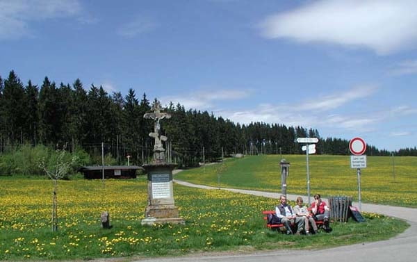
Dieser Weg führt Sie über die Hochebene, von wo aus Sie die gesamte Alpenkette bewundern können, sofern gute Fernsicht herrscht. Es geht weiter nach Eisenbach auf den Höchst (ebenfalls herrliche Fernsicht) und zurück zu uns zum Café Feldbergblick.
Further information at
http://www.cafe-feldbergblick.de/wanderurlaub_titisee.htmlMapa trasy a výškový profil
Minimum height 1032 m
Maximum height 1081 m
komentáre

GPS trasy
Trackpoints-
GPX / Garmin Map Source (gpx) download
-
TCX / Garmin Training Center® (tcx) download
-
CRS / Garmin Training Center® (crs) download
-
Google Earth (kml) download
-
G7ToWin (g7t) download
-
TTQV (trk) download
-
Overlay (ovl) download
-
Fugawi (txt) download
-
Kompass (DAV) Track (tk) download
-
list trasy (pdf) download
-
Original file of the author (gpx) download
Add to my favorites
Remove from my favorites
Edit tags
Open track
My score
Rate


