
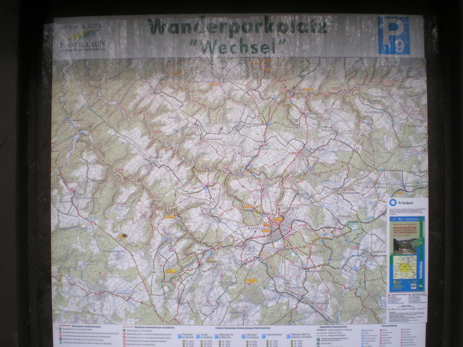

Diese Tour startet vom Wanderparkplatz Wechsel.
Durch den urwüchsigen mittleren Abschnitt des Baybachtals schlängelt sich ein abenteuerlicher Pfad. Ich empfehle dringend festes Schuhwerk und Trittsicherheit – für Kinderwagen eher ungeeignet – bei Schnee und Eis rate ich von dieser Tour ab.
Dies Tour hat mir sehr viel Spaß gemacht und ich wünsche euch viel Spaß beim nachlaufen.galéria trás


Mapa trasy a výškový profil
Minimum height 190 m
Maximum height 449 m
More about the tour author
|
|
Heinrichs |
komentáre

http://maps.google.de/maps?hl=de&tab=wl
wenn ihr unter diesem link die Koordinate N50 07.288 E7 26.087 einkopiert könnt Ihr euch eine wegbeschreibung direkt zum Parkplatz anzeigen lassen
GPS trasy
Trackpoints-
GPX / Garmin Map Source (gpx) download
-
TCX / Garmin Training Center® (tcx) download
-
CRS / Garmin Training Center® (crs) download
-
Google Earth (kml) download
-
G7ToWin (g7t) download
-
TTQV (trk) download
-
Overlay (ovl) download
-
Fugawi (txt) download
-
Kompass (DAV) Track (tk) download
-
list trasy (pdf) download
-
Original file of the author (gpx) download
More about the tour author
|
|
Heinrichs |
Add to my favorites
Remove from my favorites
Edit tags
Open track
My score
Rate