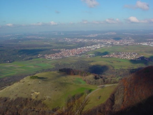
Wunderschöne Tour auf die Burg Teck (2 mal) mit tollem Ausblick und spaßigen SingleTrails (vor allem bergab). Die Richtung der Tour sollte auf jeden Fall gegen den Uhrzeigersinn gefahren werden (siehe auch Wegepunkte).
Mapa trasy a výškový profil
Minimum height 360 m
Maximum height 775 m
komentáre
Autobahnabfahrt A8 Kirchheim-Ost dann Richtung Owen. Links Abfahren Richtung Nabern, wo die Tour startet.
GPS trasy
Trackpoints-
GPX / Garmin Map Source (gpx) download
-
TCX / Garmin Training Center® (tcx) download
-
CRS / Garmin Training Center® (crs) download
-
Google Earth (kml) download
-
G7ToWin (g7t) download
-
TTQV (trk) download
-
Overlay (ovl) download
-
Fugawi (txt) download
-
Kompass (DAV) Track (tk) download
-
list trasy (pdf) download
-
Original file of the author (gpx) download
Add to my favorites
Remove from my favorites
Edit tags
Open track
My score
Rate


nur mal so...
=> schade, dass wir am Gardasee nicht eine Route nachfahren!
Stefan