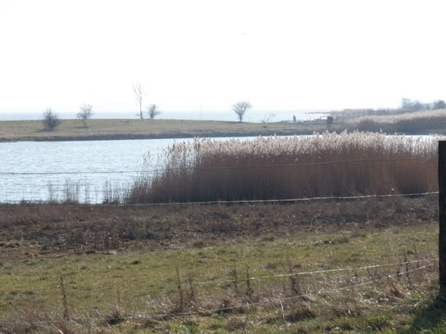
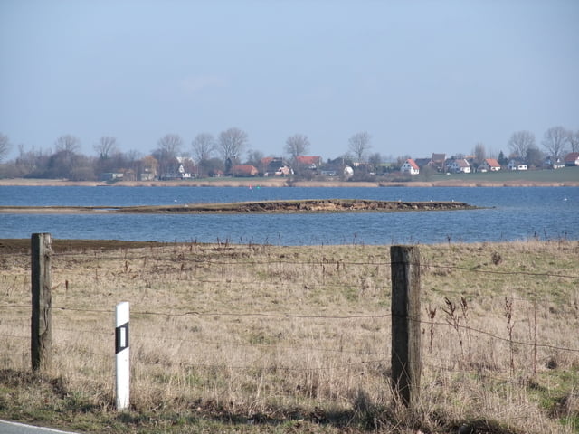
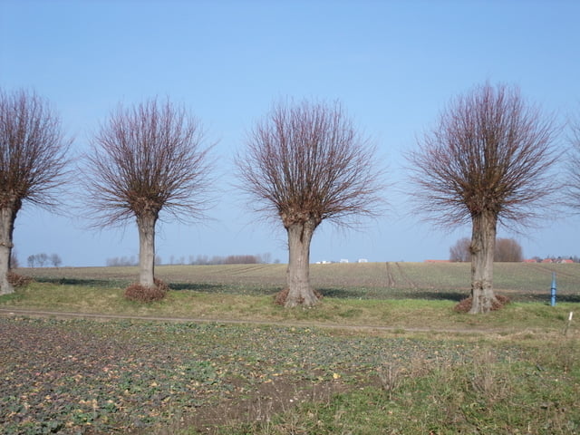
Bei der Rundwanderung um Poel wird man so richtig durchgepustet. Bei der Tour geht es am Stand und an der Küste lang aber auch durch das Hinterland. Rastmöglichkeiten in Form von Gaststätten gibt es in allen Orten die durchquert werden.
Es ist eine schöne Tagestour für jedermann.
Further information at
http://www.insel-poel.de/galéria trás
Mapa trasy a výškový profil
Minimum height 99999 m
Maximum height -99999 m
komentáre

A20 Wismar und dann in Richtung Poel - Kirchdorf
GPS trasy
Trackpoints-
GPX / Garmin Map Source (gpx) download
-
TCX / Garmin Training Center® (tcx) download
-
CRS / Garmin Training Center® (crs) download
-
Google Earth (kml) download
-
G7ToWin (g7t) download
-
TTQV (trk) download
-
Overlay (ovl) download
-
Fugawi (txt) download
-
Kompass (DAV) Track (tk) download
-
list trasy (pdf) download
-
Original file of the author (gpx) download
Add to my favorites
Remove from my favorites
Edit tags
Open track
My score
Rate


