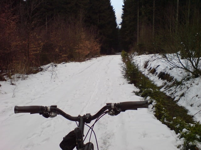
Los gehts aus Burbach Ortsmitte,
vorbei an der katholischen Kirche, und Reiterstübchen zur Rothaarsteig WW-variante zum Heimhoftheater.
Von dort rauf zum Sinnerhöfchen, und wieder runter zur A45 Brücke. Dort dann rechts, Richtung Gilsbach Sportplatz.
Rückweg nach Burbach erfolgt über Taufwinkel
Schöne kleine Tour zum Einfahren.
Mapa trasy a výškový profil
Minimum height 348 m
Maximum height 570 m
komentáre
Landhausklinik.
Parkplatz Kreuzung Hochstraße, Braache,
57299 Burbach
GPS trasy
Trackpoints-
GPX / Garmin Map Source (gpx) download
-
TCX / Garmin Training Center® (tcx) download
-
CRS / Garmin Training Center® (crs) download
-
Google Earth (kml) download
-
G7ToWin (g7t) download
-
TTQV (trk) download
-
Overlay (ovl) download
-
Fugawi (txt) download
-
Kompass (DAV) Track (tk) download
-
list trasy (pdf) download
-
Original file of the author (gpx) download
Add to my favorites
Remove from my favorites
Edit tags
Open track
My score
Rate


Macht Spaß