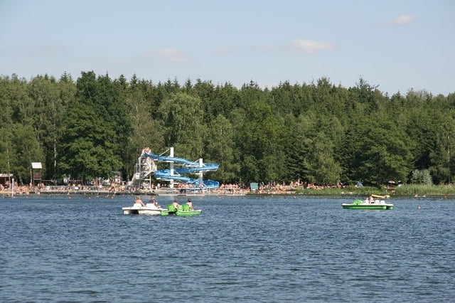
Schöne Tour über wenig befahrene Straßen und Radwege durchs Erzgebirge mit mäßigen Steigungen. Unterwegs Besichtigung des Kleinerzgebirges in Oederan möglich. Am Erzenglerteich in BrandErbisdorf gute Rastmöglichkeit (auch Imbissnutzung im Bad).
Mapa trasy a výškový profil
Minimum height 257 m
Maximum height 543 m
komentáre

GPS trasy
Trackpoints-
GPX / Garmin Map Source (gpx) download
-
TCX / Garmin Training Center® (tcx) download
-
CRS / Garmin Training Center® (crs) download
-
Google Earth (kml) download
-
G7ToWin (g7t) download
-
TTQV (trk) download
-
Overlay (ovl) download
-
Fugawi (txt) download
-
Kompass (DAV) Track (tk) download
-
list trasy (pdf) download
-
Original file of the author (gpx) download
Add to my favorites
Remove from my favorites
Edit tags
Open track
My score
Rate

