

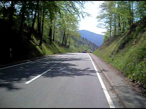
Ganztages Trainingsfahrt mit dem Rennrad über die Höhen des Nordschwarzwaldes.
Eine gute und schöne Rundfahrt.
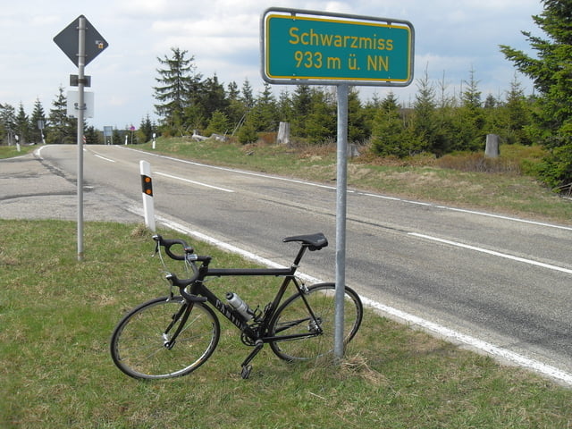
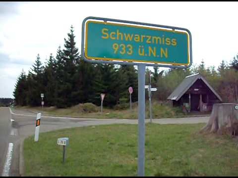
Diese Ausfahrt ist eine entschärfte Tour in meinem Trainingstehroh, wer will kann auch die Auffahrt zur Nachtigal verzichten und somit auch nicht über die Roten Lache fahren sondern bei Gernsbach gleich nach Hilpertsau und somit zur Schwarzmiss.
http://www.naturparkschwarzwald.de/projekte-initiativen/portalgemeinden/kaltenbronn
Further information at
http://www.rsv-sulzfeld.degaléria trás


Mapa trasy a výškový profil
Minimum height 154 m
Maximum height 939 m
More about the tour author
|
|
Stefan68 |
komentáre

Sulzfeld ist an die Kraichgaubahn (Karlsruhe - Heilbronn) angebunden, auf der die Stadtbahnlinie S4 im Karlsruher Verkehrsverbund fährt. Die Gemeinde liegt weiter an der Bundesstraße 293 (Heilbronn - Pfinztal). Direkte Nachbargemeinden und durch Landstraßen mit Sulzfeld verbunden sind Kürnbach, Zaisenhausen und Mühlbach.
GPS trasy
Trackpoints-
GPX / Garmin Map Source (gpx) download
-
TCX / Garmin Training Center® (tcx) download
-
CRS / Garmin Training Center® (crs) download
-
Google Earth (kml) download
-
G7ToWin (g7t) download
-
TTQV (trk) download
-
Overlay (ovl) download
-
Fugawi (txt) download
-
Kompass (DAV) Track (tk) download
-
list trasy (pdf) download
-
Original file of the author (gpx) download
More about the tour author
|
|
Stefan68 |
Add to my favorites
Remove from my favorites
Edit tags
Open track
My score
Rate