galéria trás
Mapa trasy a výškový profil
Minimum height 361 m
Maximum height 500 m
komentáre
GPS trasy
Trackpoints-
GPX / Garmin Map Source (gpx) download
-
TCX / Garmin Training Center® (tcx) download
-
CRS / Garmin Training Center® (crs) download
-
Google Earth (kml) download
-
G7ToWin (g7t) download
-
TTQV (trk) download
-
Overlay (ovl) download
-
Fugawi (txt) download
-
Kompass (DAV) Track (tk) download
-
list trasy (pdf) download
-
Original file of the author (gpx) download
Add to my favorites
Remove from my favorites
Edit tags
Open track
My score
Rate

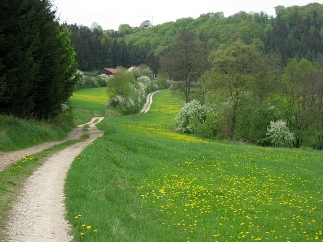
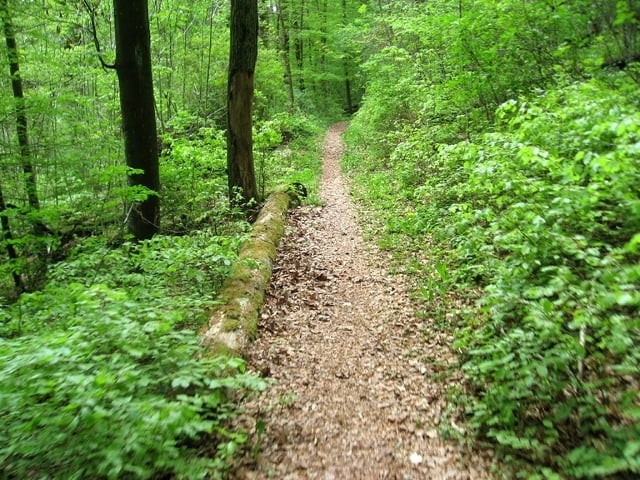
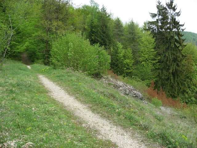
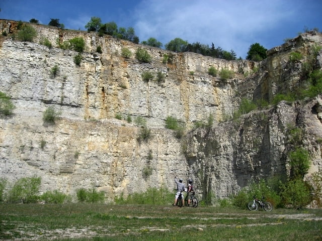
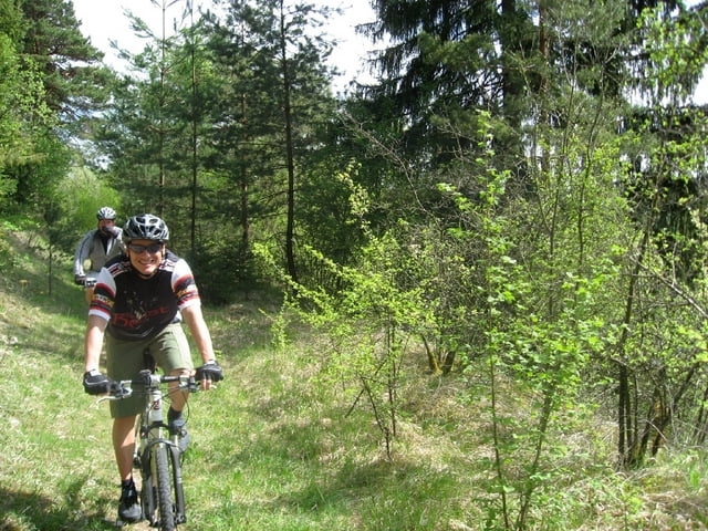

80% Autobahn
Daher von mir eine kurze Beschreibung der Strecke:
Ca. 80% der Strecke sind auf Asphalt oder geschotterten Feld- und Waldautobahnen, 10% der "Trails" sind auch für fahrtechnisch weniger begabte Fahrer leicht zu bewältigen, der Rest hat aus meiner Sicht den Namen "Trail" verdient.
Wer nach Feierabend noch schnell eine Runde mit seinem CC-Bike ohne Anspruch ans Gelände heizen will, ist hier gut bedient. Alle Fahrer mit mehr als 100mm Federweg könnten enttäuscht werden.
Geringer Trailanteil