Login

Zabudli ste prihlasovacia meno

Cookies have to be accepted!
Your browser's cookie functionality is disabled. Please enable this functionality.

Not a member yet?

Register now
Login

Available for registred users only

Log in to use this feature.

Zabudli ste prihlasovacia meno

Cookies have to be accepted!
Your browser's cookie functionality is disabled. Please enable this functionality.

Not a member yet?

Register now
Filter
Kategórie
Advanced filters
  • Dĺžka (km)
  • výškomer
Uložiť filter Reset filter

TrackRank

QRCode

Technical data

Dĺžka11,1 km výškomer504 m Way down528 m Doba04:00 h:m dátum03.05.2009
ohodnotenia Author Kraj pôžitok z túry kondícia technika

štatistika

3075 náhľady ohodnotenia 527 Stiahnutia priemer
Rate
  • list trasy
  • príjazd
  • Stiahnutia
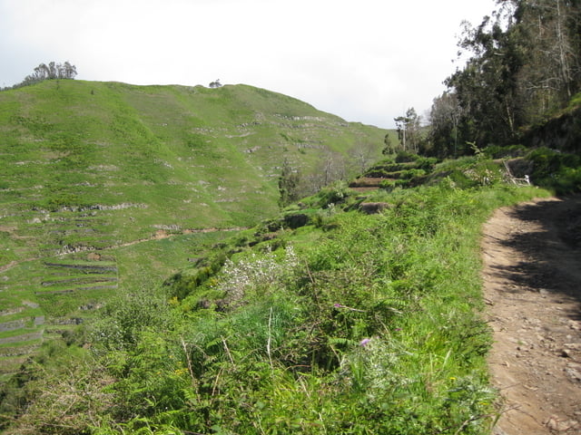
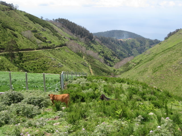
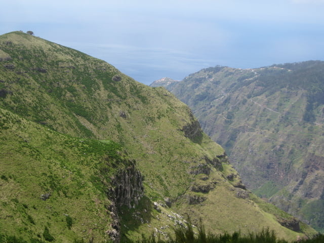
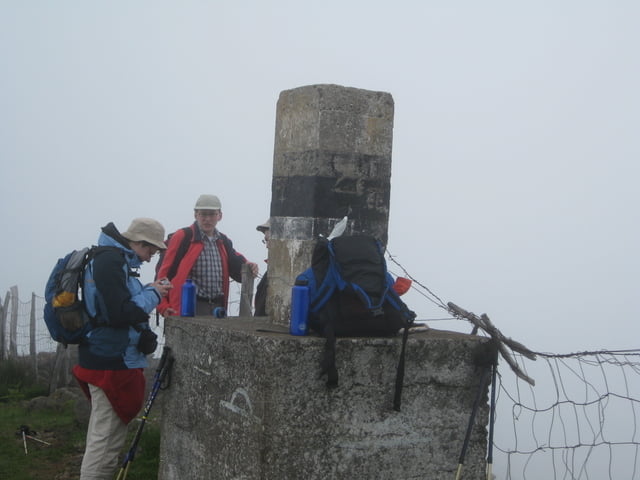
Berg-Rundwanderung auf breiten Sandwegen mit Abstecher zum Gipfel des Chao dos Terreiros 1436 m. Bei guter Sicht weite Ausblicke in das Tal des Rio Brava, Curral das Freiras und zum Encumeada Paß.

galéria trás

Mapa trasy a výškový profil

  • Open Street Map
  • Google
Minimum height 932 m Maximum height 1450 m Detailný pohľad

More about the tour author

Heihopser
Member since 2009

Send private message

komentáre

Autobahn VR1 Ausfahrt Campanario weiter Richtung Boa Morte nach Fontes.

GPS trasy

Trackpoints
  • GPX / Garmin Map Source (gpx) download
  • TCX / Garmin Training Center® (tcx) download
  • CRS / Garmin Training Center® (crs) download
  • Google Earth (kml) download
  • G7ToWin (g7t) download
  • TTQV (trk) download
  • Overlay (ovl) download
  • Fugawi (txt) download
  • Kompass (DAV) Track (tk) download
  • list trasy (pdf) download
  • Original file of the author (gpx) download

More about the tour author

Heihopser
Member since 2009

Send private message
Share track
Add to my favorites
Remove from my favorites
Edit tags
My score
Rate
trasa: Madeira Rundweg oberhalb von Fontes
Druh: trasa
Dĺžka: 11,1 km
Evaluated on:
Doba:
Day(s)
Hour(s)
Minute(s)
ohodnotenie: Kraj pôžitok z túry kondícia technika