Login

Zabudli ste prihlasovacia meno

Cookies have to be accepted!
Your browser's cookie functionality is disabled. Please enable this functionality.

Not a member yet?

Register now
Login

Available for registred users only

Log in to use this feature.

Zabudli ste prihlasovacia meno

Cookies have to be accepted!
Your browser's cookie functionality is disabled. Please enable this functionality.

Not a member yet?

Register now
Filter
Kategórie
Advanced filters
  • Dĺžka (km)
  • výškomer
Uložiť filter Reset filter

TrackRank

QRCode

Technical data

Dĺžka71,9 km výškomer1732 m Way down1732 m Doba03:10 h:m dátum04.05.2009
ohodnotenia Author Kraj pôžitok z túry kondícia technika

štatistika

666 náhľady ohodnotenia 103 Stiahnutia priemer
Rate
  • list trasy
  • príjazd
  • Stiahnutia


Über Opfenbach,Schönau,Oberstaufen,Steibis,Imberghaus,Hagspiel,Sulzberg,Weiler,

Lindenberg nach Opfenbach.

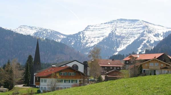
Eine kleine  Auswahl was es im Westallgäu so alles an Höhenmeter gibt.

Kompakt- oder 3-fach Kurbel auf dem Weg zum Imberghaus sehr ratsam!


Mapa trasy a výškový profil

  • Open Street Map
  • Google
Minimum height 591 m Maximum height 1225 m Detailný pohľad

More about the tour author

Joggi123
Member since 2008

Send private message

komentáre

GPS trasy

Trackpoints
  • GPX / Garmin Map Source (gpx) download
  • TCX / Garmin Training Center® (tcx) download
  • CRS / Garmin Training Center® (crs) download
  • Google Earth (kml) download
  • G7ToWin (g7t) download
  • TTQV (trk) download
  • Overlay (ovl) download
  • Fugawi (txt) download
  • Kompass (DAV) Track (tk) download
  • list trasy (pdf) download
  • Original file of the author (gpx) download

More about the tour author

Joggi123
Member since 2008

Send private message
Share track
Add to my favorites
Remove from my favorites
Edit tags
My score
Rate
trasa: Höhenmeter ohne Ende
Druh: pretekársky bicykel
Dĺžka: 71,9 km
Evaluated on:
Doba:
Day(s)
Hour(s)
Minute(s)
ohodnotenie: Kraj pôžitok z túry kondícia technika