Login

Zabudli ste prihlasovacia meno

Cookies have to be accepted!
Your browser's cookie functionality is disabled. Please enable this functionality.

Not a member yet?

Register now
Login

Available for registred users only

Log in to use this feature.

Zabudli ste prihlasovacia meno

Cookies have to be accepted!
Your browser's cookie functionality is disabled. Please enable this functionality.

Not a member yet?

Register now
Filter
Kategórie
Advanced filters
  • Dĺžka (km)
  • výškomer
Uložiť filter Reset filter

TrackRank

QRCode

Technical data

Dĺžka10,4 km výškomer294 m Way down288 m Doba00:00 h:m dátum04.05.2009
ohodnotenia Author Kraj pôžitok z túry kondícia technika

štatistika

367 náhľady 1 ohodnotenie 44 Stiahnutia 2.00 priemer
Rate
  • list trasy
  • príjazd
  • Stiahnutia
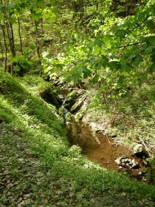
Vom Parkplatz an der Stabkirche gehts Richtung Feriensiedlung. Dann in einer kleinen Familienfreundlichen Runde im Wald zurück nach Hahnenklee

Mapa trasy a výškový profil

  • Open Street Map
  • Google
Minimum height 385 m Maximum height 618 m Detailný pohľad

More about the tour author

stiefel
Member since 2009

Send private message

komentáre

Parkplatz an der Stabkirche in Hahnenklee (Gebührenfrei)

GPS trasy

Trackpoints
  • GPX / Garmin Map Source (gpx) download
  • TCX / Garmin Training Center® (tcx) download
  • CRS / Garmin Training Center® (crs) download
  • Google Earth (kml) download
  • G7ToWin (g7t) download
  • TTQV (trk) download
  • Overlay (ovl) download
  • Fugawi (txt) download
  • Kompass (DAV) Track (tk) download
  • list trasy (pdf) download
  • Original file of the author (gpx) download

More about the tour author

stiefel
Member since 2009

Send private message
Share track
Add to my favorites
Remove from my favorites
Edit tags
My score
Rate
trasa: Wanderung
Druh: Nordic Walking
Dĺžka: 10,4 km
Evaluated on:
Doba:
Day(s)
Hour(s)
Minute(s)
ohodnotenie: Kraj pôžitok z túry kondícia technika