

Familienfreundliche Radtour:
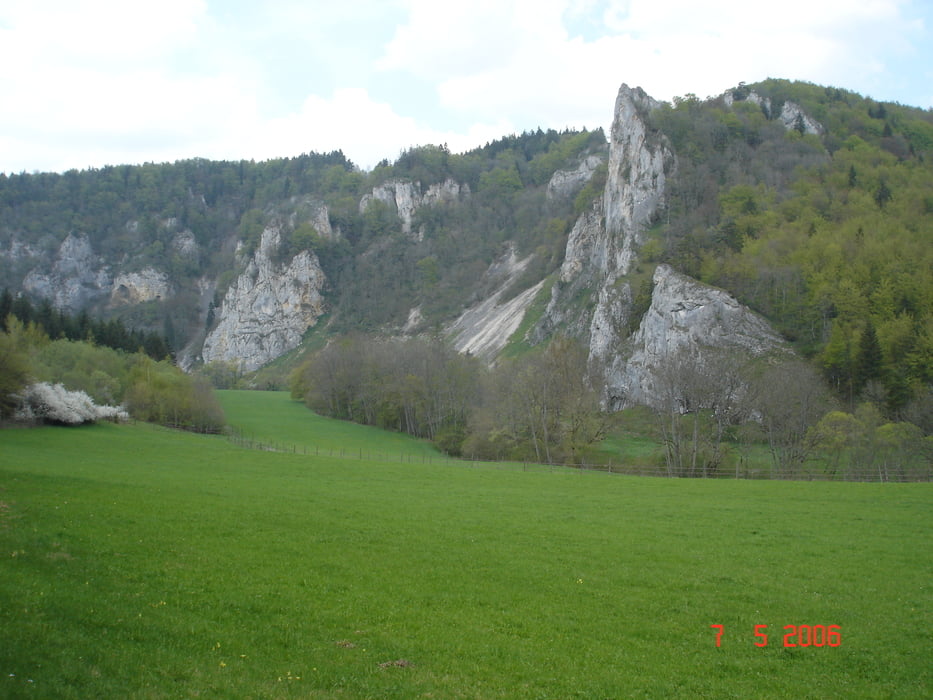
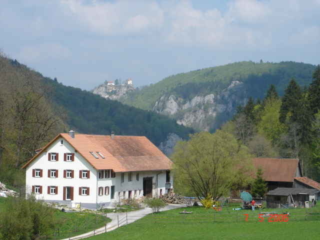
Start in Tuttlingen dem augeschilderten Donauradweg folgend über Nendingen, Stetten, Mühlheim, Fridingen, Beuron, Hausen im Tal / Bahnhof zurück mit dem Naturparkexpress (Fahrradmitnahme, saisonbedingte Fahrzeiten beachten)
Start in Tuttlingen dem augeschilderten Donauradweg folgend über Nendingen, Stetten, Mühlheim, Fridingen, Beuron, Hausen im Tal / Bahnhof zurück mit dem Naturparkexpress (Fahrradmitnahme, saisonbedingte Fahrzeiten beachten)
galéria trás
Mapa trasy a výškový profil
Minimum height 570 m
Maximum height 692 m
More about the tour author

|
JV |
komentáre

Tuttlingen, Parkplatz Donauspitz
GPS trasy
Trackpoints-
GPX / Garmin Map Source (gpx) download
-
TCX / Garmin Training Center® (tcx) download
-
CRS / Garmin Training Center® (crs) download
-
Google Earth (kml) download
-
G7ToWin (g7t) download
-
TTQV (trk) download
-
Overlay (ovl) download
-
Fugawi (txt) download
-
Kompass (DAV) Track (tk) download
-
list trasy (pdf) download
-
Original file of the author (gpx) download
More about the tour author
|
|
JV |
Add to my favorites
Remove from my favorites
Edit tags
Open track
My score
Rate