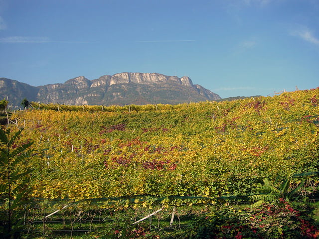
Von Kaltern aus den Mendelpass hinauf. Faule Leute, so wie wir ;-), nehmen dazu die Mendelbahn. Von der Passhöhe aus geht es rechts eine kurvige Straße zum Penegal hinauf. Von hier oben aus eine super Aussicht zu den Dolomiten hinüber. An einem Kiosk können Getränke und Kleinigkeiten zu Essen geordert werden. Ab hier geht es auf Waldwegen weiter Richtung Norden. Abzweig nach links auf einen "Schneeschuhwanderweg". Ab hier (für Anfänger wie mich) recht heftige Singletrails, machen aber Spaß! Nach einiger Zeit geht es ein ganzes Stück bergauf, teilweise mussten wir schieben. Am Gantkofel super Blick ins Etschtal, aber aufpassen, dass man nicht in den gähnenden Abgrund fällt! Vom Aussichtspunkt aus Richtung San Felice halten, dann eine lange Schotterautobahn bis Fondo hinab. Dort unten linkerhand ein nettes Lokal ;-). Nach der Stärkung auf Asphalt zum Mendelpass hinauf, nur mäßige Steigung - zum Glück ;-). Dann schnelle Abfahrt nach Kaltern, zum Ausgangspunkt zurück.
Further information at
http://www.velotouren.net/radtouren/touren/touren2008/suedtirol/galéria trás
Mapa trasy a výškový profil
Minimum height 430 m
Maximum height 1853 m
komentáre

GPS trasy
Trackpoints-
GPX / Garmin Map Source (gpx) download
-
TCX / Garmin Training Center® (tcx) download
-
CRS / Garmin Training Center® (crs) download
-
Google Earth (kml) download
-
G7ToWin (g7t) download
-
TTQV (trk) download
-
Overlay (ovl) download
-
Fugawi (txt) download
-
Kompass (DAV) Track (tk) download
-
list trasy (pdf) download
-
Original file of the author (gpx) download
Add to my favorites
Remove from my favorites
Edit tags
Open track
My score
Rate


