
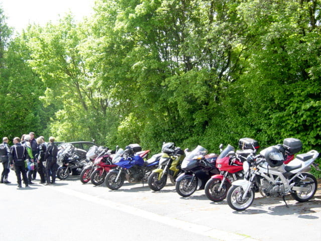

Die Tour wurde von ortskundigen Freunden für einen Trupp aus ganz Deutschland ausgearbeitet. Mit 35 Motorrädern, aufgeteilt auf 5 Tourguids, ging es los und alle sind heil wieder angekommen.
Leider hat das Navi die Runde nicht als Track aufgezeichnet, aber da wir wie vorher geplant gefahren sind, dürfte es kein Problem sein, die Tour nachzufahren.
Wir sind um 09:30 losgefahren, und waren mit 2 Pausen von jeweils ca. 1 Stunde und mehreren kleinen Pausen um ca. 16 Uhr bei Kathis Bräu und haben an die Tour noch die Heimfahrt der kurzen Runde angeschlossen, so dass wir um 18 Uhr incl. Tankpause wieder an unserer Unterkunft waren.
galéria trás


Mapa trasy a výškový profil
Minimum height 315 m
Maximum height 558 m
More about the tour author
|
|
Genoveva |
komentáre

Unsere Unterkunft war nun schon zum 3. Mal das Gasthaus Schlehenühle.
Neben einfachen Doppelzimmern mit Dusche/ WC sind auch Komfortdoppelzimmer buchbar.
Das Frühstücksbuffet ist reichhaltig und die Speisekarte klein, aber ausreichend und die Küchenfeen fix.
GPS trasy
Trackpoints-
GPX / Garmin Map Source (gpx) download
-
TCX / Garmin Training Center® (tcx) download
-
CRS / Garmin Training Center® (crs) download
-
Google Earth (kml) download
-
G7ToWin (g7t) download
-
TTQV (trk) download
-
Overlay (ovl) download
-
Fugawi (txt) download
-
Kompass (DAV) Track (tk) download
-
list trasy (pdf) download
-
Original file of the author (gpx) download
More about the tour author
|
|
Genoveva |
Add to my favorites
Remove from my favorites
Edit tags
Open track
My score
Rate