Login

Zabudli ste prihlasovacia meno

Cookies have to be accepted!
Your browser's cookie functionality is disabled. Please enable this functionality.

Not a member yet?

Register now
Login

Available for registred users only

Log in to use this feature.

Zabudli ste prihlasovacia meno

Cookies have to be accepted!
Your browser's cookie functionality is disabled. Please enable this functionality.

Not a member yet?

Register now
Filter
Kategórie
Advanced filters
  • Dĺžka (km)
  • výškomer
Uložiť filter Reset filter

TrackRank

QRCode

Technical data

Dĺžka229,6 km výškomer5446 m Way down6360 m Doba00:00 h:m dátum22.05.2009
ohodnotenia Author User Kraj pôžitok z túry kondícia technika

štatistika

2276 náhľady 2 ohodnotenia 327 Stiahnutia 4.00 priemer
Rate
  • list trasy
  • príjazd
  • Stiahnutia

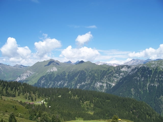
Dies ist ein Alpencross (Light) von 2008 !

Start der Tour ist Sterzin in Südtirol und endet in Riva am Gardasee. Die ging über vier Tage hat eine gesamt Länge von ca. 250 km und eine Höhe 6200 m, Tageslängen zwischen 50 km und 85 km, Tageshöhen zwischen 900 m und 1900 m.

Verlauf: Sterzin - Ultental - St.Pankraz - Male - Stenico - Riva

Viel Spaß beim nachfahren !

galéria trás

Mapa trasy a výškový profil

  • Open Street Map
  • Google
Minimum height 72 m Maximum height 2452 m Detailný pohľad

More about the tour author

MarcusVergin
Member since 2009

Send private message

komentáre

GPS trasy

Trackpoints
  • GPX / Garmin Map Source (gpx) download
  • TCX / Garmin Training Center® (tcx) download
  • CRS / Garmin Training Center® (crs) download
  • Google Earth (kml) download
  • G7ToWin (g7t) download
  • TTQV (trk) download
  • Overlay (ovl) download
  • Fugawi (txt) download
  • Kompass (DAV) Track (tk) download
  • list trasy (pdf) download
  • Original file of the author (gpx) download

More about the tour author

MarcusVergin
Member since 2009

Send private message
Share track
Add to my favorites
Remove from my favorites
Edit tags
My score
Rate
trasa: Alpencross Light / Von Sterzing nach Riva
Druh: Transalp
Dĺžka: 229,6 km
Evaluated on:
Doba:
Day(s)
Hour(s)
Minute(s)
ohodnotenie: Kraj pôžitok z túry kondícia technika