
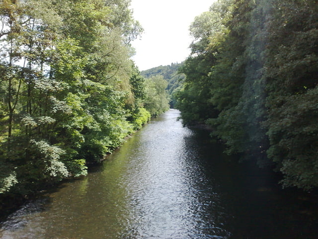

Wupperschleife
Von Leichlingen aus der Wupper folgend flussaufwärts, Basis ist der Landrat-Lukas Weg, der entsprechend markeirt ist.
Die Light-Version der Tour kann auf der Straße bzw. Radwegen gefahren werden, Single-Trails sind auf der gegenüberliegenden Seite zu finden. Speziell die Trails sind flussaufwärts zu fahren, in umgekehrter Richtung sind einige Tragepassagen und Geländestufen zu meistern.
Als Einstieg in die Tour eignet sich als Ausgangspunkt der Bf Opladen.
Tipp: Die Tour nie bei gutem Wetter sonntags nach 12 Uhr starten, der Wald ist dann voll von Spaziergängern, die auch dem rücksichtsvollsten Mountainbiker zunehmend feindselig gegenüberstehen!
Mapa trasy a výškový profil
Minimum height 41 m
Maximum height 215 m
More about the tour author
|
|
zfkat |
komentáre

P des BF Opladen, teilweise gebührenpflichtig.
GPS trasy
Trackpoints-
GPX / Garmin Map Source (gpx) download
-
TCX / Garmin Training Center® (tcx) download
-
CRS / Garmin Training Center® (crs) download
-
Google Earth (kml) download
-
G7ToWin (g7t) download
-
TTQV (trk) download
-
Overlay (ovl) download
-
Fugawi (txt) download
-
Kompass (DAV) Track (tk) download
-
list trasy (pdf) download
-
Original file of the author (gpx) download
More about the tour author
|
|
zfkat |
Add to my favorites
Remove from my favorites
Edit tags
Open track
My score
Rate