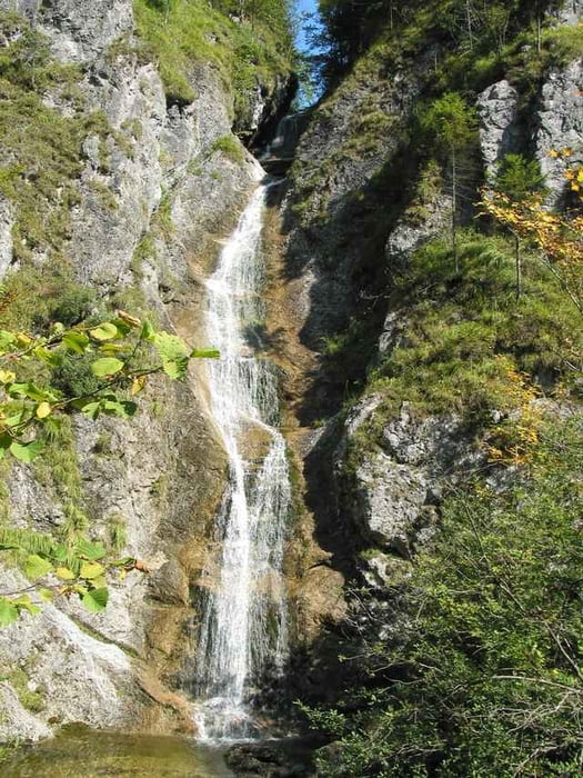
Eine verhältnismäßig einfach zu fahrende Runde, die vorallem durch ihre landschaftlichen Reize überzeugt. Start und Ziel in Reichraming. Erster Gipfel ist die Mooshöhe, wo es auch eine Raststation gibt. Hier heißt es dann umdrehen und ein Stück hinunterfahren. Sodann erklimmt man den Hirschkogelsattel und fährt zur Anlauf-Alm hinauf. Grandiose Fernblicke sind bei entsprechender Witterung garantiert!
galéria trás
Mapa trasy a výškový profil
Minimum height 349 m
Maximum height 984 m
komentáre

GPS trasy
Trackpoints-
GPX / Garmin Map Source (gpx) download
-
TCX / Garmin Training Center® (tcx) download
-
CRS / Garmin Training Center® (crs) download
-
Google Earth (kml) download
-
G7ToWin (g7t) download
-
TTQV (trk) download
-
Overlay (ovl) download
-
Fugawi (txt) download
-
Kompass (DAV) Track (tk) download
-
list trasy (pdf) download
-
Original file of the author (g7t) download
Add to my favorites
Remove from my favorites
Edit tags
Open track
My score
Rate


