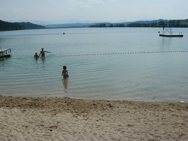
Mit dem Zug von Laufen nach Mühldorf, z.B. 9:27 (Juni 2009). Zunächst durch die Altstadt, dann fast ohne Verkehr über Garching, Tachinger See nach Laufen Bahnhof. Ca. 95% geteerte Straßen.
Wer einkehren will sollte das in Garching, da danach die Wirtshäuser spärlich werden. Sehr zu empfehlen ist die Verpflegung am Tachinger See.
Wenn möglich sollte man die Tour in dieser Richtung machen, da man dann das Gebirg vorsich hat. Dazu kommt, daß bei guter Wetterlage man häufig Rückenwind hat. (Nord-Ost-Wind)
galéria trás
Mapa trasy a výškový profil
Minimum height 380 m
Maximum height 534 m
komentáre

GPS trasy
Trackpoints-
GPX / Garmin Map Source (gpx) download
-
TCX / Garmin Training Center® (tcx) download
-
CRS / Garmin Training Center® (crs) download
-
Google Earth (kml) download
-
G7ToWin (g7t) download
-
TTQV (trk) download
-
Overlay (ovl) download
-
Fugawi (txt) download
-
Kompass (DAV) Track (tk) download
-
list trasy (pdf) download
-
Original file of the author (gpx) download
Add to my favorites
Remove from my favorites
Edit tags
Open track
My score
Rate


