Login

Zabudli ste prihlasovacia meno

Cookies have to be accepted!
Your browser's cookie functionality is disabled. Please enable this functionality.

Not a member yet?

Register now
Login

Available for registred users only

Log in to use this feature.

Zabudli ste prihlasovacia meno

Cookies have to be accepted!
Your browser's cookie functionality is disabled. Please enable this functionality.

Not a member yet?

Register now
Filter
Kategórie
Advanced filters
  • Dĺžka (km)
  • výškomer
Uložiť filter Reset filter

TrackRank

QRCode

Technical data

Dĺžka11,9 km výškomer849 m Way down798 m Doba03:35 h:m dátum14.06.2009
ohodnotenia Author User Kraj pôžitok z túry kondícia technika

štatistika

653 náhľady 1 ohodnotenie 148 Stiahnutia 4.00 priemer
Rate
  • list trasy
  • príjazd
  • Stiahnutia

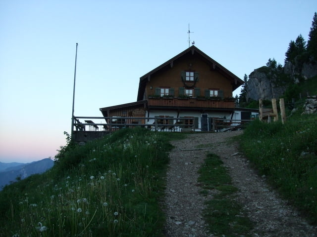
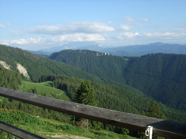
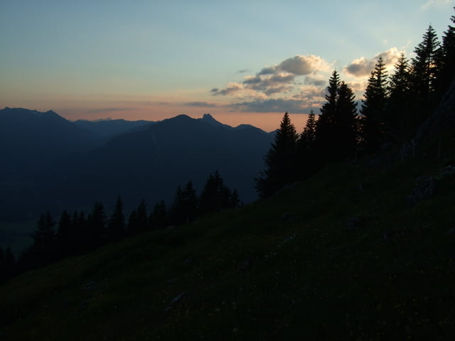
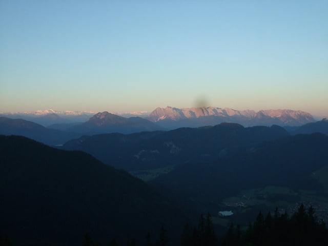
Herrliche Wanderung - teilweise wurden Abkürzungen genommen, man kann aber auch ausschließlich den Hauptwanderweg nehmen

galéria trás

Mapa trasy a výškový profil

  • Open Street Map
  • Google
Minimum height 612 m Maximum height 1471 m Detailný pohľad

More about the tour author

heikes
Member since 2009

Send private message

komentáre

Fotoschmied on 03.10.2012

Hochgern

Tolle Tour in genialer Landschaft. Wird sicher wiederholt.

A8 Richtung Salzburg, Ausfahrt Grabenstätt und dann bis Marquartstein, dort den ausgewiesenen Waldparkplatz anfahren. Gestartet sind wir aber von Lohen aus, da dort unsere Unterkunft liegt.

www.zeranka.com


GPS trasy

Trackpoints
  • GPX / Garmin Map Source (gpx) download
  • TCX / Garmin Training Center® (tcx) download
  • CRS / Garmin Training Center® (crs) download
  • Google Earth (kml) download
  • G7ToWin (g7t) download
  • TTQV (trk) download
  • Overlay (ovl) download
  • Fugawi (txt) download
  • Kompass (DAV) Track (tk) download
  • list trasy (pdf) download
  • Original file of the author (gpx) download

More about the tour author

heikes
Member since 2009

Send private message
Share track
Add to my favorites
Remove from my favorites
Edit tags
My score
Rate
trasa: Hochgernhaus
Druh: trasa
Dĺžka: 11,9 km
Evaluated on:
Doba:
Day(s)
Hour(s)
Minute(s)
ohodnotenie: Kraj pôžitok z túry kondícia technika