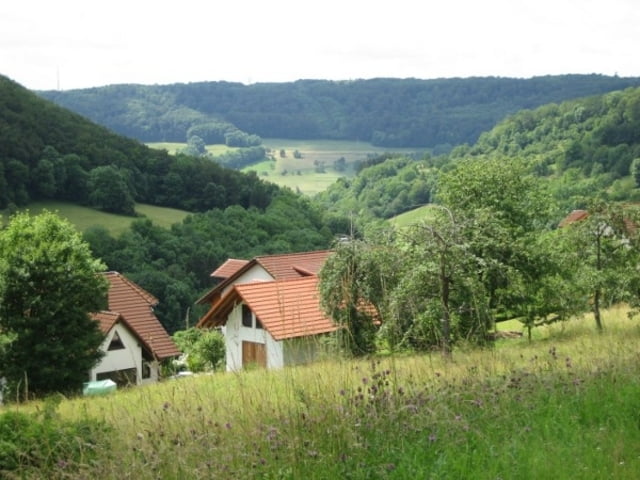
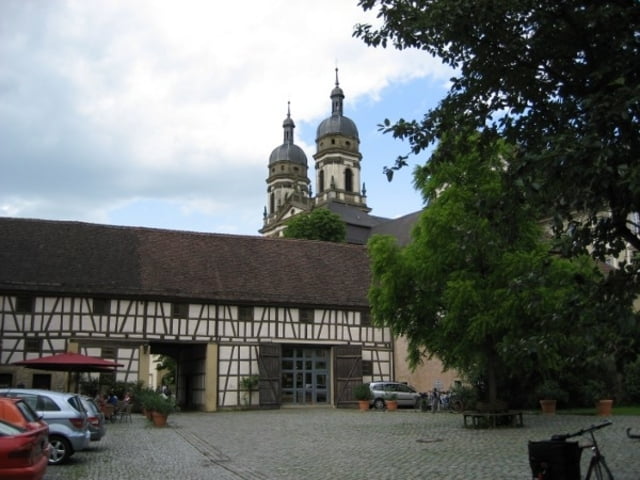
Leichte Radtour im Kocher- und Jagsttal.
Dauer ca. 3h.
Die Radtour verläuft durchweg auf gut ausgebauten Radwegen.
Im Kocher- und Jagsttal ist der Radweg eben. Beim Wechsel vom Kochertal zum Jagsttal und zurück, sind leichte Steigungen zu bewältigen.
Further information at
http://www.kocher-jagst.degaléria trás
Mapa trasy a výškový profil
Minimum height 181 m
Maximum height 422 m
komentáre
Heilbronn, Bad Friedrichshall, im Kochertal bis Forchtenberg. Dort auf einem der Parkplätze parken.
Die Tour startet in Forchtenberg.
GPS trasy
Trackpoints-
GPX / Garmin Map Source (gpx) download
-
TCX / Garmin Training Center® (tcx) download
-
CRS / Garmin Training Center® (crs) download
-
Google Earth (kml) download
-
G7ToWin (g7t) download
-
TTQV (trk) download
-
Overlay (ovl) download
-
Fugawi (txt) download
-
Kompass (DAV) Track (tk) download
-
list trasy (pdf) download
-
Original file of the author (gpx) download
Add to my favorites
Remove from my favorites
Edit tags
Open track
My score
Rate


Schöne Runde in toller Landschaft