

Von Velden aus in richtung Forstsee, dann ist es mittels Tafeln gekennzeichnet.
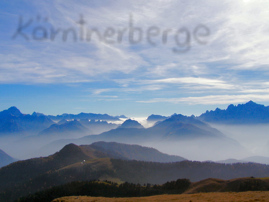
Eine abwechslungsreiche Tour wo mann einen schönen Ausblick auf den
Wörthersee bewundern kann.
galéria trás

Mapa trasy a výškový profil
Minimum height 437 m
Maximum height 736 m
More about the tour author
|
|
capelli65 |
komentáre
Von Velden aus richtung Forstsee!!
GPS trasy
Trackpoints-
GPX / Garmin Map Source (gpx) download
-
TCX / Garmin Training Center® (tcx) download
-
CRS / Garmin Training Center® (crs) download
-
Google Earth (kml) download
-
G7ToWin (g7t) download
-
TTQV (trk) download
-
Overlay (ovl) download
-
Fugawi (txt) download
-
Kompass (DAV) Track (tk) download
-
list trasy (pdf) download
-
Original file of the author (gpx) download
More about the tour author
|
|
capelli65 |
Add to my favorites
Remove from my favorites
Edit tags
Open track
My score
Rate
Sehr schön!
Endlich eine coole Strecke, wenn man in Velden wohnt. Die Tour ist abwechslungsreich - für Anfänger vielleicht zu schwer weil teilw. durch den Wald mit Wurzeln und Steinen.
Ich bin es so gefahren, wie beschrieben - vor dem Forstsee sind im Wald wirklich viele Abzweigungen und ich habe den Weg nicht sofort gefunden. Nach einiger Zeit mündet diese Variante in die beschilderte Techelsberg Runde.
Interessant wäre es sicher auch, die Strecke mal in der Gegenrichtung zu versuchen.
Alles in allem hat mir die Tour wirklich gefallen, ich werde sie sicher wieder fahren.