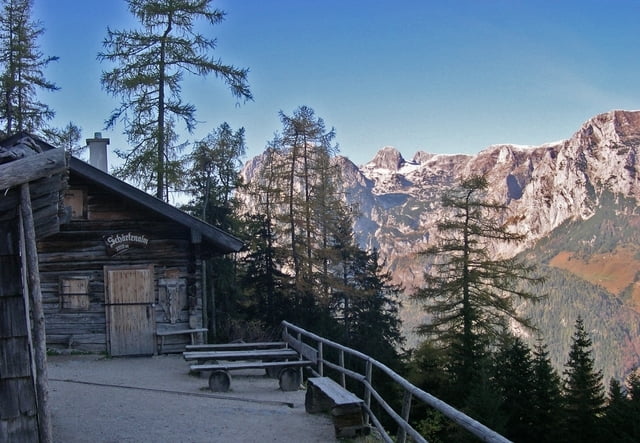
Parkplatz Pfeifenmacherbrücke > Schärtenalm, im Sommer bewirtschaftet, Blaueishütte, im Sommer/Frühherbst bewirtschaftet > Gipfelkreuz Schärtenspitze. Beständiger Anstieg auf gut gekennzeichneten Wegen/Pfaden. Kurz vor der Blaueishütte Stufen. Letzte Strecke zum Gipfel gut mit Halteseilen gesichert.
Ausführliche Beschreibungen im Internet, z. B. http://www.bergsteigen.at/de/touren.aspx?ID=1644
Further information at
http://www.wolf-klepzig.de/hp/wandern.htmgaléria trás
Mapa trasy a výškový profil
Minimum height 680 m
Maximum height 2110 m
komentáre

B 305 Ramsau / Berchtesgadener Land, in Ramsau auf Hinterseer Straße Richtung Hintersee bis Pfeifenmacherbrücke
GPS trasy
Trackpoints-
GPX / Garmin Map Source (gpx) download
-
TCX / Garmin Training Center® (tcx) download
-
CRS / Garmin Training Center® (crs) download
-
Google Earth (kml) download
-
G7ToWin (g7t) download
-
TTQV (trk) download
-
Overlay (ovl) download
-
Fugawi (txt) download
-
Kompass (DAV) Track (tk) download
-
list trasy (pdf) download
-
Original file of the author (gpx) download
Add to my favorites
Remove from my favorites
Edit tags
Open track
My score
Rate


